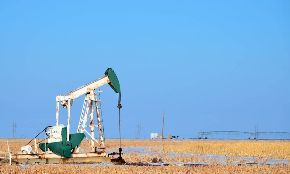
An ALTA survey in Midland TX is essential for uncovering legacy site modifications that can disrupt modern equipment upgrades. In a region where oilfields and industrial sites have been repurposed and rebuilt for decades, undocumented changes—like buried utilities, regraded zones, or forgotten foundations—can create serious risks. Without accurate survey data, engineers and field teams may run into costly delays, design conflicts, or even safety issues.
Legacy Oilfield Development Patterns and Site Layering in Midland
Midland’s oil and gas sites are among the most active in the country. Many properties have been used for decades, with layers of pads, tanks, and pipelines added over time. Some were removed without full documentation. Others were never recorded at all.
This layered use can cause:
- Gaps in site history
- Misleading surface conditions
- Equipment zones that don’t match legal records
If teams rely only on visible markers, they may miss underground risks or build over unmarked infrastructure.
Identifying Structural Remnants That Affect Modern Equipment Installation
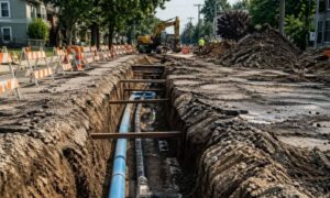
Old foundations, pipes, and storage units often remain buried even after the surface looks clear. These features can interfere with layout, trenching, or grading for new builds.
Common issues include:
- Rusted containment walls just below grade
- Buried piping paths that cross new staging areas
- Slab edges that don’t appear on current drawings
When these aren’t found early, they may force delays or redesigns during installation.
Cross-Referencing Historic and Current Site Records for Conflict Detection
ALTA Surveys combine current fieldwork with old records like plats, well permits, and lease maps. These documents help surveyors spot differences between past layouts and today’s land use.
By comparing these sources, teams can:
- Find missing pads or altered access roads
- Identify shifted equipment zones or boundary errors
- Detect past fill-in areas such as retired pits or berms
This review gives a more accurate picture of how the site developed—and what risks might remain.
Verifying Elevation Changes and Grading Adjustments Over Time
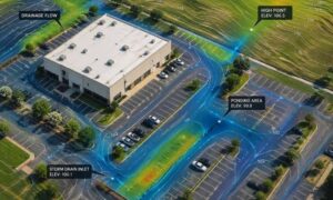
Old sites often go through multiple grading cycles. High areas may be cut for drainage. Low areas may be filled for stability. These changes affect how new equipment is anchored and how water flows across the site.
An ALTA Survey shows:
- Changes in slope that affect equipment balance
- Signs of non-permitted grading work
- Shifts in load-bearing zones due to reworked soil
These findings help engineers plan safe and long-lasting upgrades.
Clarifying Title Boundaries and Infrastructure Rights for Modernization
As equipment is added or replaced, it’s essential to confirm that boundaries and easements are clearly defined. A boundary survey ensures that new installations stay within legal property lines and do not encroach on neighboring parcels or violate legacy agreements.
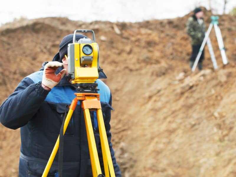
Surveyors help clarify:
- Whether existing easements apply to new equipment
- If access routes are still valid or need updates
- How to adjust legal records to match current use
This helps teams avoid legal problems during or after construction.
Supporting Field Teams and Engineers with Verified ALTA Deliverables
Accurate survey data supports smarter decisions in the field. Teams can plan confidently, knowing the site conditions are verified.
Benefits include:
- Reduced guesswork during layout
- Fewer redesigns caused by unexpected features
- Better coordination with safety and regulatory teams
Frequently Asked Questions
1. Why are legacy site issues a concern during equipment upgrades?
Because old pads, buried structures, or changes to land use may not show up on surface inspections.
2. What does an ALTA Survey find that a basic survey might miss?
It connects physical site data with title, permit, and historic documents to reveal hidden or undocumented changes.
3. Can this help with grading or drainage planning?
Yes. Survey data shows past changes to slopes or soil conditions that affect water flow and equipment stability.
4. How do I know if there are conflicts with old easements?
An ALTA Survey reviews and confirms recorded easements and rights-of-way, helping avoid legal mistakes during upgrades.
5. Is this only useful for oilfield sites?
No. Any infrastructure or industrial property with a complex history can benefit from legacy site detection and accurate mapping. Whether you’re upgrading energy facilities or planning new construction, industrial site surveys provide the insights needed to avoid costly errors and project delays.