Why Every Growing City Needs an Environmental Engineer

Water is something most people do not think about every day. You turn on the tap, and clean water comes out. However, when a city faces a water shortage, people quickly see how important the system is. Recently, news from Texas showed a serious warning. A large coastal city began to face the risk of […]
Is Being a Construction Surveyor Worth It? Field Truths
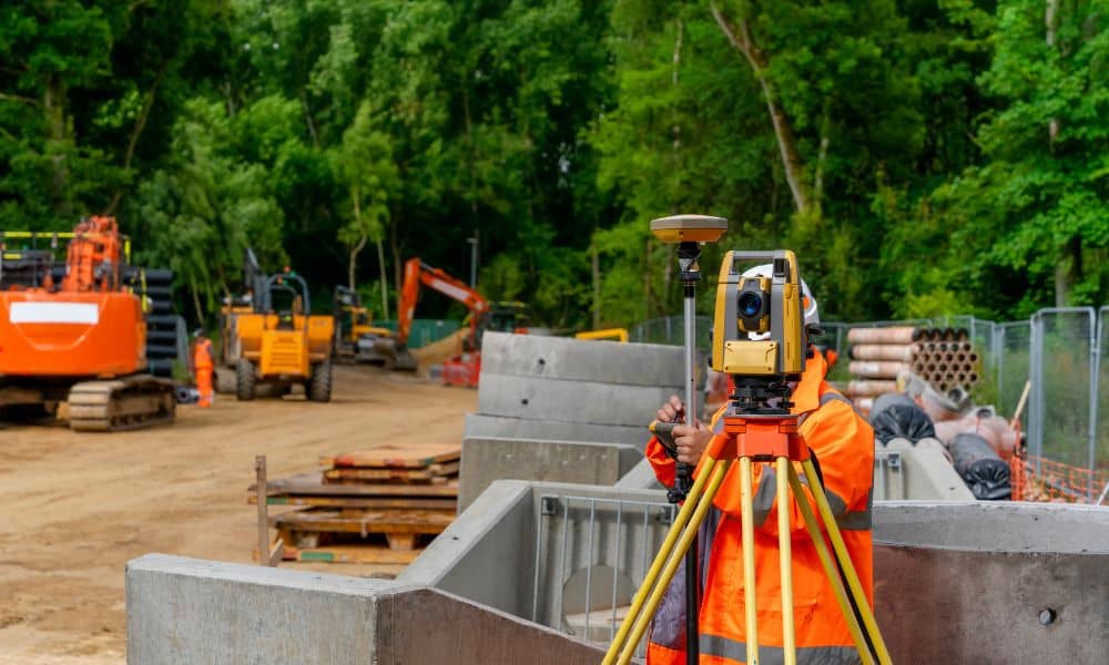
When most people hear construction surveyors, they picture someone with a tripod and a laser level out in an empty field. While that image isn’t wrong, it doesn’t tell the full story. The truth is, being a construction surveyor takes more than equipment. It takes grit, focus, and a strong work ethic. Still, many people […]
When Buildings Collapse: What a Structural Engineer Sees
When a bridge collapses or part of a building falls, the video spreads within minutes. People repost it. News anchors replay it. Social media is filled with opinions. Most reactions focus on fear or blame. However, a structural engineer looks at the situation very differently. Instead of asking, “Who messed up?” the first thought is, […]