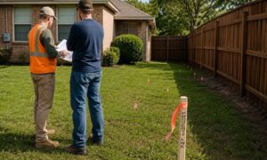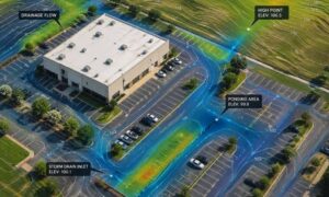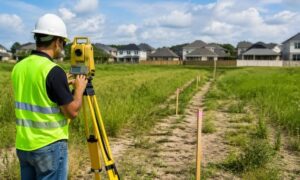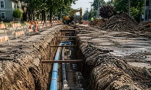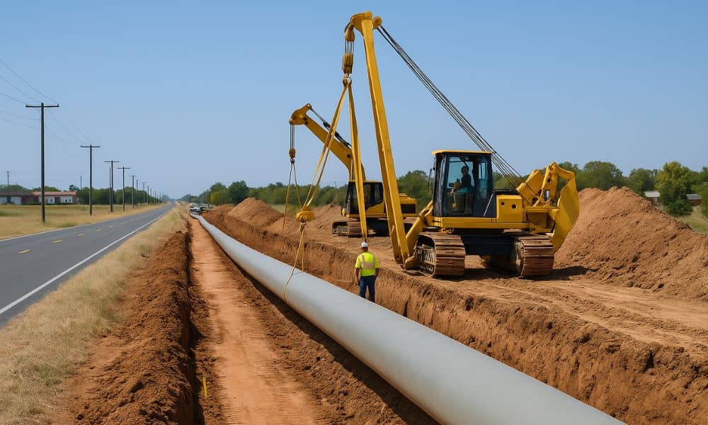
Pipeline construction can create unexpected access issues—blocking driveways, disrupting shared roads, or crossing into private entry points. These conflicts often lead to delays, legal disputes, and frustration for property owners and developers. That’s why an ALTA survey plays such a critical role: it helps verify easements, confirm legal boundaries, and ensure that infrastructure work doesn’t interfere with site access.
Increasing Demand for Pipeline Infrastructure Across College Station
College Station is growing quickly, and with that growth comes a higher demand for energy. As new neighborhoods and commercial sites are developed, pipelines must expand to meet future needs. But this expansion doesn’t happen in a vacuum; many lines cross privately owned land.
Pipeline work often brings temporary disruptions to driveways, access lanes, or shared use paths. In some cases, construction cuts off entry to active work sites or residential areas. When access is blocked, delays and legal challenges can follow.
Risks to Legal Site Entry During Utility Right-of-Way Construction
During pipeline installation, access issues can appear without warning. Temporary easements may be used to allow crews on site, but without careful review, these can cross into sensitive or shared areas. Other risks include:
- Driveways or roads being blocked by heavy equipment
- Entry points used by tenants or delivery services being cut off
- Misaligned construction zones overlapping with legal easements
If these issues aren’t caught early, they can slow construction and damage property rights.
Confirming Recorded Access Rights Across Active and Passive Parcels
One of the most important uses of ALTA/NSPS survey services is confirming where access rights already exist, by verifying recorded easements and identifying ingress/egress points across the site. Surveyors review property documents and check the land for visible signs of use. This helps identify:
- Recorded ingress/egress easements across neighboring properties
- Missing or outdated entries in the title record
- Critical access paths used by service vehicles or emergency responders
Knowing where access is legally protected helps owners defend their rights during pipeline construction.
Mapping Construction Zones to Prevent Access Overlap or Encroachment
An ALTA Survey can also show how planned construction lines up with legal property limits. When paired with a drone survey, teams can gain a full aerial perspective of staging areas, shared roads, and buffer zones to ensure nothing is overlooked.
This is especially useful for:
- Keeping construction within approved easements
- Protecting shared access roads from accidental blockage
- Preventing disputes over fence lines, driveways, or buffer zones
When these limits are clearly documented, everyone involved can stay within legal bounds.
Addressing Multi-Party Use Scenarios in Commercial and Agricultural Parcels
Many properties in College Station are shared by multiple users—such as leased farmland, commercial lots, or subdivided industrial areas. When pipeline work affects these sites, access disputes can arise.
ALTA Surveys help:
- Define which user has rights to specific entry points
- Resolve overlaps between tenants, owners, and service providers
- Document shared access in a clear, legal format for all stakeholders
This makes it easier to keep the site usable and safe for everyone during and after construction.
Supporting Easement Adjustments and Post-Construction Site Restoration
After the pipeline is installed, there’s often a need to restore land conditions or request changes to existing easements. Survey data can be used to:
- Show whether construction followed agreed access routes
- Support claims for rerouting if damage occurred to driveways or service paths
- Maintain records that help with future development, resale, or dispute resolution
Having this verified information helps protect long-term value and use of the land.
Frequently Asked Questions
1. How can a pipeline project affect my site access?
Construction may block driveways, shared paths, or utility routes if easements are unclear or poorly managed.
2. What does an ALTA Survey do to protect access?
It maps recorded easements, shows physical access points, and checks where construction might interfere with legal use.
3. Do I need this survey even if I’m not selling my land?
Yes. It helps protect your right to enter and use your land during infrastructure work and afterward.
4. Can this help in disputes with utility companies?
Yes. Survey data provides legal backing if access is blocked, damaged, or misused.
5. What happens if an easement wasn’t recorded properly?
The survey may reveal missing records, which allows owners to correct the issue before problems escalate.