What if you could explore a cave without actually going inside? Thanks to drone land surveying, that’s now possible. The Texas Department of Transportation (TxDOT) recently used drones to create a detailed 3D map of the Inner Space Cavern near Georgetown, Texas. This project is changing how land surveying is done, especially in Texas, including areas like New Braunfels.
What Is Drone Land Surveying?
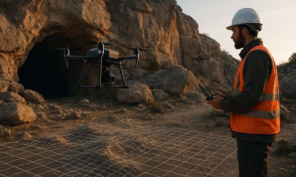
Drone land surveying means using flying robots called drones to take pictures and measurements of the land. Instead of surveyors walking through tough places, drones can quickly fly over or even into hard-to-reach areas. They collect data that can be turned into detailed 3D maps.
For the Inner Space Cavern project, drones helped map parts of the cave that would have been too dangerous or impossible to reach the usual way.
Why Map the Inner Space Cavern?
The Inner Space Cavern is a beautiful cave near Georgetown, Texas. It’s important to protect because it’s a natural landmark and a tourist spot. But it’s also close to a busy highway called I-35.
TxDOT wanted a very accurate map of the cave. This helps make sure that when they build or fix roads nearby, they don’t accidentally damage the cave.
Mapping caves is tricky. They have tight spaces, rocks, and low light. Normally, surveyors would have to crawl inside with special tools — which is slow and risky.
That’s why drones made a big difference.
How Did Drones Help TxDOT?
TxDOT used drones together with other tools like lasers (called LiDAR) and even a robot dog named “Dot.” The drones flew above and into parts of the cave, taking clear pictures and gathering data.
With this information, the team made a detailed 3D digital map of the cave. This map shows every little detail without anyone having to be inside the cave.
Why Does This Matter for Land Surveying?
This project shows how drone land surveying is changing the way surveyors work.
First, drones make surveying faster. What used to take weeks can now be finished in just a few days. That keeps projects on schedule and helps save money.
Second, drones make the job safer. Surveyors don’t have to walk through rough or risky areas. Instead, they can fly the drone from a safe spot and still get all the information they need.
Third, drone surveys are extremely accurate. They can pick up tiny details that people might miss on foot.
Put all of that together, and you get a better way to survey land — one that’s faster, safer, and more precise. For many property owners, developers, and builders, drone tech is becoming the go-to choice for land survey solutions that actually work in the real world.
How Drone Land Surveying Can Help People
If you own land or want to build, drone land surveying can help you in many ways:
- Boundary Surveys: Find exact property lines to avoid fights with neighbors.
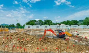
- Construction Staking: Mark where buildings, roads, and pipes should go before building starts.
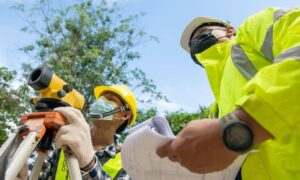
- Topographic Surveys: Map the shape and height of the land, which helps with drainage and building foundations.
- Flood Elevation Certificates: Check flood risks and get certificates needed for insurance and permits.
- Subdivision Surveys: Split your land into smaller pieces faster and easier.
Using drones means faster, safer, and more accurate surveys for landowners and builders.
What’s Next for Drone Land Surveying?
Drone technology keeps getting better. More surveyors will use drones because they save time and money, and give better data.
Rules about drone flying are also changing to make it easier and safer to use drones.
For people, knowing about drone land surveying now will help you be ready for future projects.
To Wrap Up
TxDOT’s project to map the Inner Space Cavern shows how drone land surveying is changing the way we explore and protect our land.
If you’re involved in building, buying, or selling land, think about using drone land surveying. It can save you time, cut costs, and help avoid surprises.
Drones aren’t just a cool gadget — they’re making land surveying smarter and safer.


