Topographic Survey Tips for Accurate Fencing in Mesquite

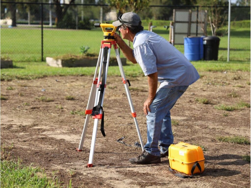
Land surveyor using a leveling instrument on a residential property with a fenced yard—capturing the importance of topographic surveys in fence placement.

Building a fence may seem simple, but placing it in the wrong spot can lead to serious problems. In Mesquite TX, property owners often face disputes, fines, or even the cost of tearing down a fence due to incorrect placement. That’s where a topographic survey in Mesquite TX becomes essential.

Understanding Property Lines vs. Fence Lines

It’s easy to assume that a current fence marks the property boundary but that’s often not true.

Differences:

  • Property Line: The legal boundary of your land, recorded with the county.
  • Fence Line: The physical structure, which may or may not align with legal boundaries.

Common Problems:

  • Encroachment onto a neighbor’s land
  • Building too close to utility easements
  • Legal disputes and removal orders

How Topographic Surveys Improve Fence Line Accuracy

1.  Identify True Boundaries

  • Avoid relying on old plats or guessed markers
  • Use updated terrain features for fence placement

2. Plan for Slopes and Elevation

  • Keep fence height consistent across uneven land
  • Improve long-term stability and drainage

3.  Support HOA and Permit Approvals

  • Provide required documents for city or HOA review
  • Align with Mesquite’s municipal zoning rules

What Can Go Wrong Without a Survey?

  • Building over someone else’s land
  • Uneven fences due to missed slope data
  • Permit delays or rejections
  • Costly rework or legal action

Best Practices for Property Owners in Mesquite TX

  • Get a survey before fence installation or home improvements
  • Hire a licensed, local surveyor familiar with Texas property laws
  • Combine topographic and boundary surveys for total accuracy
  • Share survey results with your contractor and even your neighbor if needed

FAQs

1. What’s the difference between a topographic and boundary survey?
A boundary survey shows legal property lines; a topographic survey maps elevation and land features. Together, they offer full accuracy.

2. Do I need a survey for a backyard fence?
Yes, especially if your property has slopes, tight spacing, or unclear boundaries.

3. How much does a topographic survey cost in Mesquite TX?
Most range from $800 to $2,000, depending on the lot size and complexity.

4. Can a topographic survey help with a neighbor dispute?
Yes. It provides official documentation to resolve disagreements peacefully.

5. When is the best time to get a survey?
Before installing a new fence, during property renovations, or after purchasing a home.


author avatar
Surveyor

More Posts

Aerial view of a new residential neighborhood designed through subdivision engineering, showing roads and uniform lot layouts under sunset light
civil engineering
Surveyor

The Subdivision Engineering Formula for Fast Approval

Getting a land development project approved can feel slow. One missing detail in your plans can set you back weeks. That’s where subdivision engineering makes all the difference. It’s the plan that turns open land into build-ready lots — and when it’s done right, your approval moves faster and smoother.

Read More »
Flooded roadway with warning sign and construction crew illustrating the importance of proper detention pond design and stormwater drainage
civil engineering
Surveyor

How a Recent Crash Exposed Flaws in Detention Pond Design

A few days ago, news broke about a serious crash in a Texas highway construction zone. Multiple cars collided on a rainy morning, causing long traffic delays and plenty of frustration. It wasn’t just another highway story—it reminded everyone how connected detention pond design and safe road construction really are.

Read More »
Land surveyor site showing an open lot being reviewed for a due diligence survey before apartment redevelopment
alta survey
Surveyor

The New Demand for Due Diligence Survey After SB 840

A due diligence survey just became a much hotter topic in Grand Prairie. Thanks to a new Texas law, called Senate Bill 840 (SB 840), property owners and developers in the city are rethinking how they check a piece of land before moving ahead. In simple terms: when you’re buying

Read More »
Excavator and cranes working on a large civil engineering site under development for drainage and stormwater design
civil engineering
Surveyor

Stormwater Design Challenges in Large-Scale Site Development

When people in North Texas hear that H-E-B is finally coming to town, excitement spreads quickly. But in Sherman, this new retail megasite is more than a shopping milestone—it’s a major civil engineering project. In late September, the city council approved a $12 million plan to improve roads, utilities, and

Read More »
Water treatment plant expansion showing active flow, highlighting infrastructure upgrades that impact flood study and drainage requirements
civil engineering
Surveyor

Flood Study: $1.7B Water Upgrades Reshape Rules

Big changes are coming to Plano’s water system, and every developer, project manager, and civil engineer should pay attention. The North Texas Municipal Water District (NTMWD) recently approved a $1.7 billion capital program for 2026, and one of the headline projects is the Wylie Water Treatment Plant IV expansion, set

Read More »
Licensed surveyor measuring a home’s elevation for a flood elevation certificate
flood damage
Surveyor

Flood Elevation Survey: Why Every Homeowner Should Care

When the recent DFW flood alerts went out in late September, residents were reminded how quickly heavy rain can change daily life. Streets filled, creeks swelled, and neighbors worried about whether water would reach their homes. In moments like these, many people hear the term flood elevation certificate from their

Read More »