
How LiDAR Mapping Supports Reservoir and Floodplain Projects
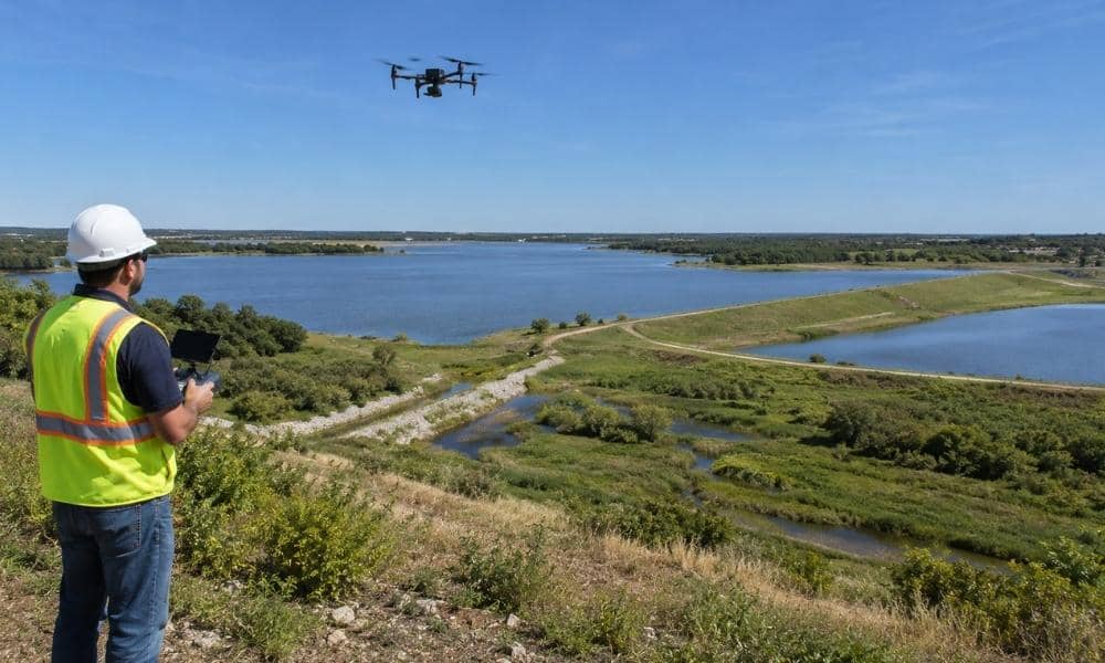
Water projects around Bryan, Texas need one thing first. They need a clear picture of the ground. This matters before anyone plans a reservoir change, a floodplain fix, a new road, or other site work. LiDAR mapping gives planners that picture. It comes in a form that teams can measure and share. Establishing a Detailed […]