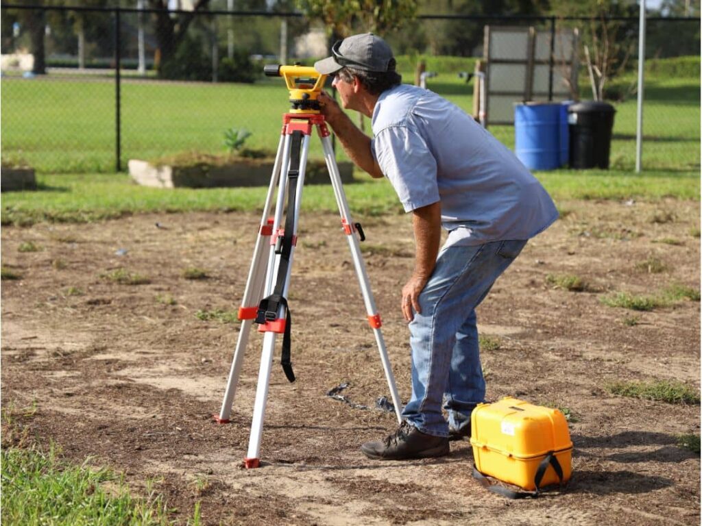
Building a fence may seem simple, but placing it in the wrong spot can lead to serious problems. In Mesquite TX, property owners often face disputes, fines, or even the cost of tearing down a fence due to incorrect placement. That’s where a topographic survey in Mesquite TX becomes essential.
Understanding Property Lines vs. Fence Lines
It’s easy to assume that a current fence marks the property boundary but that’s often not true.
Differences:
- Property Line: The legal boundary of your land, recorded with the county.
- Fence Line: The physical structure, which may or may not align with legal boundaries.
Common Problems:
- Encroachment onto a neighbor’s land
- Building too close to utility easements
- Legal disputes and removal orders
How Topographic Surveys Improve Fence Line Accuracy
1. Identify True Boundaries
- Avoid relying on old plats or guessed markers
- Use updated terrain features for fence placement
2. Plan for Slopes and Elevation
- Keep fence height consistent across uneven land
- Improve long-term stability and drainage
3. Support HOA and Permit Approvals
- Provide required documents for city or HOA review
- Align with Mesquite’s municipal zoning rules
What Can Go Wrong Without a Survey?
- Building over someone else’s land
- Uneven fences due to missed slope data
- Permit delays or rejections
- Costly rework or legal action
Best Practices for Property Owners in Mesquite TX
- Get a survey before fence installation or home improvements
- Hire a licensed, local surveyor familiar with Texas property laws
- Combine topographic and boundary surveys for total accuracy
- Share survey results with your contractor and even your neighbor if needed
FAQs
1. What’s the difference between a topographic and boundary survey?
A boundary survey shows legal property lines; a topographic survey maps elevation and land features. Together, they offer full accuracy.
2. Do I need a survey for a backyard fence?
Yes, especially if your property has slopes, tight spacing, or unclear boundaries.
3. How much does a topographic survey cost in Mesquite TX?
Most range from $800 to $2,000, depending on the lot size and complexity.
4. Can a topographic survey help with a neighbor dispute?
Yes. It provides official documentation to resolve disagreements peacefully.
5. When is the best time to get a survey?
Before installing a new fence, during property renovations, or after purchasing a home.


