How Drone Land Surveying is Mapping Hidden Spaces
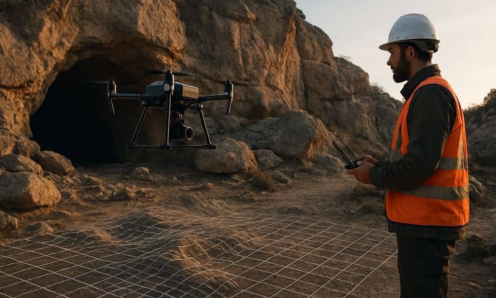
What if you could explore a cave without actually going inside? Thanks to drone land surveying, that’s now possible. The Texas Department of Transportation (TxDOT) recently used drones to create a detailed 3D map of the Inner Space Cavern near Georgetown, Texas. This project is changing how land surveying is done, especially in Texas, including […]
Top 5 Benefits of Project Management for Property Developers

A new property project in Denton can open doors to growth and profit, but only if it’s managed the right way. Deadlines, budgets, and permits all need close attention. Without structure, even the best ideas can stall. This is where project management makes the difference. With the right system guiding every step, you avoid costly […]
How an Engineer Witness Strengthens Your Construction Case

Building or fixing a home in McKinney can be exciting. But sometimes things go wrong. Maybe a contractor missed a deadline, cracks appeared in the foundation, or your project doesn’t follow city building rules. When this happens, it can cause stress and cost a lot of money. This is where an engineer witness can help. […]