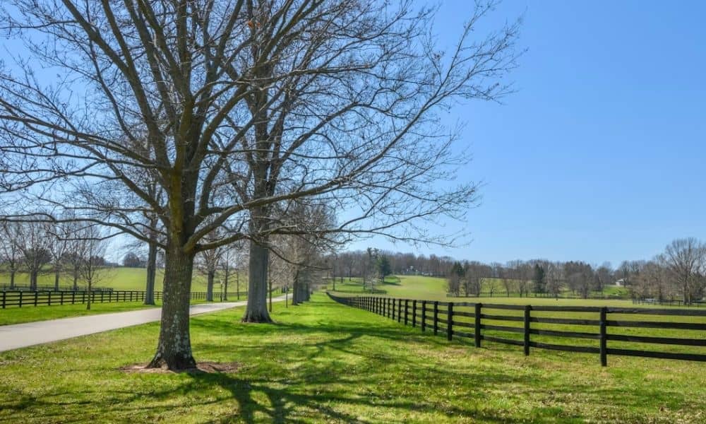
You found a rural tract with a great price and plenty of room. Then you notice an old roadbed running along one edge, half swallowed by grass and a line of hackberry. The deed calls to a county road that trucks haven’t used in decades. That leftover strip can change where your property line actually sits, and it can change who owns the ground under the old pavement.
A boundary line survey settles those questions before they cost you money. It confirms your true line, sorts out the reverted road strip, and shows whether you still have legal access.
Why Abandoned Roads Create Boundary Questions
A county road doesn’t just vanish from the record when the county stops grading it. The physical road and the paper trail drift apart over the years, and that gap creates confusion about the line.
In Texas, when a county formally abandons or closes a road, ownership of the land under it usually returns to the adjoining property owners. In many cases that means each neighbor picks up the ground out to the old centerline. Whether that happened, and how far your ownership now reaches, depends on how the road was dedicated and how it was closed. Those details vary by county and by the original documents, so confirm the specifics with Brazos County records and your title company.
Old deeds add another wrinkle. Many still describe a boundary as running “along the county road” even after that road no longer exists as a public route. A surveyor has to reconcile that outdated call with what the ground and the county records actually show today.
Reviewing Road Remnants During a Boundary Line Survey
A surveyor treats the old road as evidence, not just scenery. Physical remnants often mark where the right-of-way once ran, and they help pin down the reverted strip.
During fieldwork, the survey crew looks for signs like a gravel or caliche base, roadside ditches, culverts, old fence lines, tree rows, and any surviving right-of-way markers. Each of these gets measured and compared against the deed, recorded plats, and county road records. If the county recorded an abandonment or vacation order, that document tells the surveyor when the strip reverted and to whom.
From there, the surveyor maps where your line now falls relative to the old centerline. The finished drawing shows the reverted area as part of your tract, along with the corrected acreage. That corrected number matters, since it can differ from what the tax roll or the listing claims.
Identifying Access and Right-of-Way Considerations
Gaining ground from a reverted road is one side of the story. The other side is access, and this is where rural buyers get caught.
When a county road closes, you can lose your legal way in and out. A boundary line survey helps flag whether your tract still has frontage on a maintained public road or relies on a recorded easement across someone else’s land. If neither exists, the property may be landlocked, which affects both financing and use.
Utility lines are a separate concern. Water, power, and pipeline easements often survive a road closure even when the road itself is gone. The surveyor identifies those easements so you know where you can and can’t build. Confirm any access easement in writing before you close, because a handshake path across a neighbor’s field won’t hold up when you need a permit or a loan.
Supporting Rural Property Development With Accurate Survey Data
Bryan and the surrounding parts of Brazos County keep drawing new rural residential and small-acreage development as growth pushes outward from the Bryan-College Station area. Accurate survey data keeps those projects on solid footing.
Building setbacks get measured from your true line, not the ghost of an old road. If you plan a home, a barn, or a shop near that former right-of-way, the survey shows exactly how much buildable room the reverted strip gives you. It also helps you place a driveway, culvert, septic field, or well at a safe distance from the old roadbed and any surviving easement.
The corrected acreage feeds into everything else too. A tract that gains or loses frontage after reversion may support a different lot layout, a different price, or a different site plan than the raw listing suggested. Good survey data lets you plan around the land you actually own.
Reducing Due Diligence Risks Before Property Transactions
Buyers, lenders, and title companies all care about a clean line before a rural deal closes. An abandoned county road is exactly the kind of detail that turns into a title exception or a last-minute delay.
A boundary line survey gives everyone a clear picture of the true boundary, the reverted strip, and any easements crossing the tract. Title companies use it to address exceptions tied to the old road. Lenders use it to confirm the collateral matches the legal description. Buyers use it to catch problems while there’s still time to negotiate or walk away.
Order the survey early. If your closing, financing, or permitting depends on a clean boundary, you don’t want to discover an access or reversion issue the week you’re supposed to sign. Survey requirements can vary by property type, lender, title company, county, and project scope, so ask what you need at the start of the deal rather than the end.
Frequently Asked Questions
What is a boundary line survey?
It’s a survey that locates and marks the legal edges of a property based on the deed, recorded plats, and physical evidence on the ground. The result shows your corners, your line, and any features or easements that affect the tract.
Does an abandoned county road become my property automatically?
Often the strip returns to the adjoining owners when the county formally closes the road, sometimes out to the old centerline. It isn’t guaranteed, though, because it hinges on how the road was created and closed. County records and your title company can confirm what applies to your parcel.
Can I lose access if a county road is abandoned?
Yes. If the closed road was your only legal way in, you may end up without frontage on a maintained public road. A survey helps show whether you hold a recorded access easement or need to arrange one before you buy.