If the home you want to buy sits next to a drainage tract, your lender will want to know exactly where that tract is before your loan can close. A loan closing survey answers that question. It shows the home and the drainage tract side by side, based on real measurements instead of just the plat.
In Houston, private drainage tracts show up a lot in newer neighborhoods. The land here is flat, so builders need a clear path for rainwater to go somewhere safe. These tracts come with rules that can affect what a homeowner can build, fence, or plant close by. A loan closing survey gives buyers, lenders, and title companies a clear, current picture of how the tract and the home line up before closing day.
Where the Recorded Drainage Tract Sits in Relation to the Home
A loan closing survey shows exactly where the drainage tract sits next to the home, the garage, and any other structures on the lot.
This step matters because a plat only shows a general picture. It does not confirm where the house actually sits today. A surveyor checks the plat, the deed, and the actual property to measure the real distance between the home and the tract line.
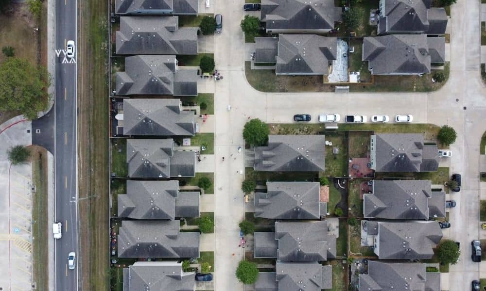
In many flat neighborhoods, drainage tracts run along the back or side of a lot as a narrow strip. A few feet can matter a lot here. If a patio, shed, or fence sits closer to the tract than the plat shows, that needs to get sorted out before closing, not after.
Reading Plat Notes That Affect the Private Drainage Tract
Plat notes can carry more weight than most buyers expect. A note on the plat can limit what happens near a drainage tract even when nothing about the lot looks unusual.
Common notes include rules against building a fence across the tract, limits on adding fill or grading near the drainage path, and rules that keep the tract clear for maintenance crews. Some neighborhoods also note who takes care of the tract. That could be a homeowners association, a utility district, or the property owner.
When a surveyor checks the plat for a loan closing survey, they look for any notes tied to that specific drainage tract. This is not a general summary of neighborhood rules. It is a direct read of what the plat says about this tract, on this lot.
What the Loan Closing Survey Shows Near Drainage Areas
Near a drainage tract, a loan closing survey usually shows the tract boundary, any visible drainage features like ditches or inlets, and where fences, sheds, or decks sit close to that line.
The survey also points out any encroachment. That means a structure or feature that crosses into the tract or sits too close to it. This is a common issue on older lots that back up to a drainage tract, especially when a fence went in years ago without checking the exact line first.
Finding an encroachment does not always stop a closing. It gives the buyer, seller, lender, and title company a clear issue to work through. That might mean moving a fence, asking for a title exception, or finding another fix before the loan funds.
Comparing the Survey With Title and Recorded Drainage Documents
The survey should get checked against the title commitment and any recorded drainage easement or maintenance agreement tied to the property.
Title companies use this comparison to make sure what the survey shows on the ground matches what the public records say. If the survey finds a drainage tract that the title commitment does not mention, or if an easement in the title work does not match the survey, that gap needs to get fixed before closing.
This step also helps confirm who has to maintain the tract. Some neighborhoods put that job on a utility district or drainage district. Others leave it with the property owners next to the tract. The recorded documents answer this question, not guesses based on the area.
Questions to Resolve Before the Home Loan Closes
Before closing, buyers and lenders usually want clear answers to a short list of questions about the drainage tract.
- Does any structure on the lot cross into the drainage tract
- Who has to maintain the tract
- Do the plat notes limit fencing, grading, or landscaping near the tract
- Does the survey match what the title commitment says about the easement
- Has anything changed on the property that older records do not show
Getting these answers early gives everyone time to fix problems without the pressure of a closing deadline. A surveyor who knows drainage tracts can check these details straight from the plat, the deed, and the actual property, instead of guessing based on the neighborhood.