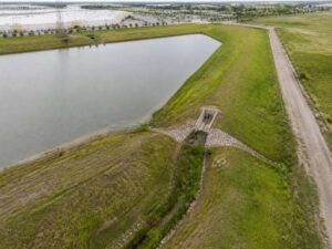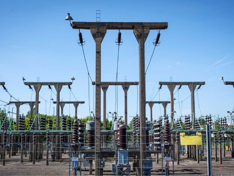
A property survey sorts out those questions before you commit. It shows who owns what, where utility rights sit on the ground, and how the substation affects layout and access. For buyers, developers, and their lenders, that information turns a guess into a decision backed by measurements.
Land that includes or borders a utility substation often comes with an attractive price. The acreage may look generous, the road frontage may be good, and the zoning may seem flexible. What the listing rarely explains is how much of that land the utility controls, where its access road runs, and which areas you can’t build on. Those details can shrink the usable site and change the value of the deal.
Reviewing Property Boundaries and Substation Land Ownership
Start by confirming whether the substation is part of the parcel you’re buying. In many cases, the utility owns the substation site as a separate parcel carved out of the larger tract. In others, the substation sits on land owned by the seller, with the utility holding an easement or lease. Those arrangements carry very different rights and obligations.
A boundary survey locates the property lines from deeds, plats, and field evidence. It shows where the substation parcel starts and stops, if one exists, and how it relates to the land being sold. The surveyor also compares the deed description to what’s on the ground. Gaps, overlaps, or fences that don’t follow recorded lines should be raised with your title company right away.
Identifying Utility Easements and Access Rights Before Purchase
An easement is a recorded right for someone else to use part of your land for a specific purpose. Substations often come with several easements, including transmission line corridors, distribution lines, access roads, and drainage. These may cross large sections of the property. The surveyor plots each recorded easement listed in the title commitment that can be located from its description.
Access rights deserve close attention. The utility may hold the right to cross your land with heavy trucks and equipment at any time. That access route can split a parcel or limit where driveways and buildings can go. Ask whether the route is fixed by a recorded description or described in general terms, since general wording can make planning harder.
- Width and location of transmission and distribution line easements
- Whether access roads are shared or exclusive to the utility
- Restrictions on building, grading, or planting within easements
- Any rights to expand or add new lines in the future
Easement documents can be old, vague, or hard to read. Your title company or attorney can explain the legal terms. The survey shows where those rights fall on the land so you can see the real impact.
Evaluating Substation Structures, Setbacks, and Site Conditions
The survey locates visible improvements, including the substation fence, gates, equipment pads, poles, towers, and access drives. It also shows how close those features sit to property lines and to areas you may want to develop. That helps confirm the utility’s improvements stay within its parcel or easement. If a fence or structure crosses onto your land, you’ll want that documented before closing.
Setbacks can also affect your plans. Local zoning rules may require distance between buildings and utility facilities, and the utility may have its own clearance requirements near lines and equipment. Those rules can vary by municipality, utility, and project type. Ask the local planning office and the utility directly before assuming any portion of the land is buildable.
Site conditions matter too. Substations are often placed on high, well-drained ground, and drainage from the site may flow toward adjacent land. A topographic survey shows elevations, slopes, and drainage paths around the facility. That data helps engineers plan grading and stormwater for future development.
Using an ALTA Survey to Identify Property Purchase Risks
An ALTA survey is a detailed boundary survey prepared to national standards set by the American Land Title Association and the National Society of Professional Surveyors. It ties the physical site to the title commitment, so buyers and lenders can see how recorded matters affect the land. Commercial lenders and title companies often request one for larger or more complex purchases. Requirements can vary by lender, title company, and deal size.
For land with a substation, an ALTA survey can show easements, encroachments, access, flood zone status, and the location of utility improvements. Optional items, known as Table A items, can add details such as zoning information, utilities, and building setbacks. The survey also gives the title company what it needs to consider removing the standard survey exception from the policy. That can expand your title coverage.
Use the survey findings to guide negotiations. An undisclosed easement or encroachment might justify a price change, a seller cure, or a title endorsement. Without the survey, those risks often stay hidden until development starts.
Confirming Survey Requirements Before Closing and Future Development
Survey needs can differ depending on how you plan to use the land. A buyer holding raw land may need a boundary survey, while a developer financing a project may need an ALTA survey with specific Table A items. Talk to your lender, title company, and engineer before ordering. Each may have its own scope requirements.
Timing is just as important as scope. Large tracts with multiple easements can take longer to research and survey. Order early in your due diligence period so you have time to review results and resolve issues. If closing, financing, or a development schedule depends on the survey, build in extra time for title questions.
Frequently Asked Questions
Does the utility own the land under a substation?
Often, but not always. Some utilities own the substation site outright as a separate parcel. Others hold an easement or lease on land the seller still owns. A property survey and title review show which arrangement applies.
Can I build near a utility substation?
You may be able to, depending on zoning, easements, and utility clearance requirements. Many easements limit buildings, grading, or planting in certain areas. Rules can vary by municipality, utility, and project type. Confirm limits with the planning office and the utility before finalizing plans.
What type of survey do I need when buying land with a substation?
A boundary survey works for many simple purchases. An ALTA survey is common for commercial deals, financed purchases, or complex title situations. A topographic survey may also help if you plan to develop the land. Your lender, title company, and surveyor can help choose the right scope.