How Drone Land Surveying is Mapping Hidden Spaces
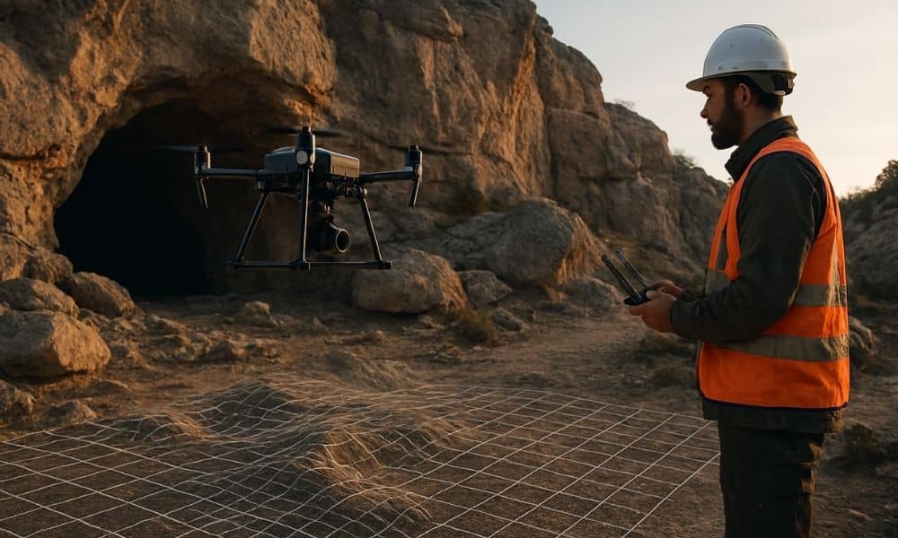
What if you could explore a cave without actually going inside? Thanks to drone land surveying, that’s now possible. The Texas Department of Transportation (TxDOT) recently used drones to create a detailed 3D map of the Inner Space Cavern near Georgetown, Texas. This project is changing how land surveying is done, especially in Texas, including […]