land surveying
How AI Reality Capture Elevates Drone Surveying Data
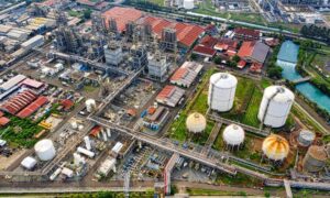
Drone surveying has already changed how land data gets collected in places like Midland. It gives oilfield operators fast maps, clear images, and accurate measurements
Drone surveying has already changed how land data gets collected in places like Midland. It gives oilfield operators fast maps, clear images, and accurate measurements
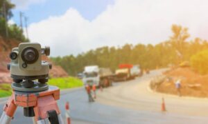
If you live in Austin, you’ve probably heard the big news: the I-35 Capital Express Central project is officially reshaping traffic, trails, and daily routines.

What if you could explore a cave without actually going inside? Thanks to drone land surveying, that’s now possible. The Texas Department of Transportation (TxDOT)