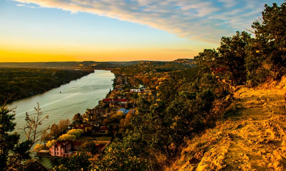
Austin, Texas is growing—and fast. More families, businesses, and developers are moving into surrounding suburbs like Pflugerville, Buda, and Manor. But with that growth comes a big challenge: flood risk.
As new neighborhoods are built in areas that used to be open land, the risk of flooding increases. Heavy rain, more pavement, and changing weather patterns all play a part. That’s where LiDAR mapping comes in. It’s a powerful tool that helps engineers and city planners understand where flooding is most likely to happen—before it does.
What Is LiDAR Mapping?
LiDAR stands for Light Detection and Ranging. It works by sending out laser pulses from a drone or airplane. These lasers bounce off the ground and other objects, then return to a sensor. By measuring how long it takes for the light to come back, LiDAR creates a detailed 3D map of the surface.
This technology is incredibly accurate. It can show even small dips and rises in the land, which are hard to see with the naked eye or from regular photos.
Why Flood Risk is a Growing Concern in Austin
As more land is developed, natural water paths like creeks and drainage basins get blocked or redirected. When a big storm hits, there’s nowhere for the water to go. That’s when neighborhoods flood, roads get washed out, and homes are damaged.
On top of that, climate change has made storms in Central Texas stronger and more unpredictable. City officials, builders, and homeowners all need better ways to plan ahead—and that’s where LiDAR helps.
How LiDAR Helps with Flood Risk Assessment
1. Shows Where Water Will Go
LiDAR gives experts a super-accurate map of the land. From this, they can predict where rainwater will collect, where it will flow, and what areas are most at risk of flooding.
2. Improves Floodplain Maps
FEMA and local governments use floodplain maps to decide where it’s safe to build and where homeowners need flood insurance. LiDAR data makes these maps more accurate and up-to-date.
3. Helps Plan Stormwater Systems
City engineers use LiDAR to figure out where to build drainage ditches, detention ponds, and other structures to help move water safely away from homes and roads.
4. Supports Smart Growth
By knowing the flood risk ahead of time, developers can avoid high-risk zones or build smarter—elevating homes, improving grading, and adding green infrastructure.
Real Impact in Austin’s Suburbs
Many cities around Austin are already using LiDAR to guide planning. For example, in Travis County, officials have used LiDAR to improve flood models and support better decision-making during emergencies. As Austin keeps expanding, tools like LiDAR will become even more important for protecting people and property.
Choosing the Right Mapping Partner
If you’re a developer, engineer, or planner working in Central Texas, it’s worth finding a trusted provider for LiDAR mapping in Austin TX. Look for a team that understands local terrain and can work closely with you to provide accurate, high-resolution data.
Final Thoughts
As Austin’s suburbs continue to grow, so does the need for smart planning and risk management. LiDAR mapping gives us the tools to see the land clearly—and plan for the future. By using this technology, we can build safer communities and reduce the damage caused by flooding before it happens.