Owning property can come with unexpected surprises — even after many years. Imagine living on your land for 15 years, only to learn through a boundary survey that a portion you thought belonged to your neighbor is actually yours. To make things more complicated, there’s already a structure built on that section of land.
This isn’t a dispute you saw coming — but it’s a situation that can change how you see your property and your rights.

What Is a Boundary Survey?
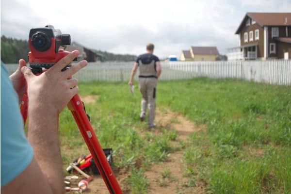
A boundary survey confirms the exact limits of your property using official records and on-site measurements. In Frisco, Texas, it’s a smart step before major transactions or construction — and, as this case shows, it can be just as valuable years after purchase.
The 15-Year Surprise
For over a decade, the homeowner believed the neighbor’s fence marked the true boundary. In reality, the fence sat well inside their property line. The recent survey revealed that part of the neighbor’s yard — including a small structure — was on their land.
The discovery raises important questions — and the start of a potential dispute:
- Who has the right to use that land now?
- Does the structure have to be removed?
- Is the homeowner entitled to restitution (compensation) for its use?
Legal Considerations in Texas
Texas property law recognizes adverse possession, which allows someone to claim ownership if they’ve used the land openly, exclusively, and without permission for a certain period — typically 10 years under the standard statute (shorter periods may apply under specific conditions).
If the neighbor meets those requirements, they may have a legal claim. If not, the homeowner could reclaim the land or seek restitution. In these situations, a real estate attorney’s advice is essential.
Due Diligence: The Step That Could Have Prevented This

This case is a clear example of why due diligence in property purchases matters. In real estate, due diligence means taking the right steps to confirm a property’s boundaries, ownership, and conditions before making decisions.
A boundary survey done early — before buying the property, building, or even installing a fence — would have shown the correct property lines and avoided years of mistaken assumptions.
What to Do If You Discover This Late
If you find yourself in a similar situation:
- Keep Your Survey Documentation – This is your proof of the true property boundaries.
- Consult a Licensed Land Surveyor – They can help interpret the findings and explain your options.
- Seek Legal Advice – An attorney can guide you on whether you can reclaim the land, seek restitution, or negotiate a resolution.
So..Who Owns the Land?
If the boundary survey shows that the land is within your legal property lines and your neighbor does not meet Texas’s adverse possession requirements, you are the rightful owner — and you have the right to use, reclaim, or remove structures from it.
However, if your neighbor can prove adverse possession under Texas law, they may gain legal ownership despite the title being in your name. In that case, you may not get the land back, but you could seek restitution or reach a negotiated settlement.
The bottom line? In most cases where adverse possession doesn’t apply, the land remains yours. A timely boundary survey is the key to knowing — and protect your property rights.


