If you live in Midland, you can see how busy the city has become. Roads are being widened, new subdivisions are taking shape, and utility crews are everywhere. At the same time, the oil and gas sector is facing fresh rules and tighter checks. With so much happening, one service is suddenly in high demand: the boundary survey.
A boundary survey is not just a step in paperwork. It is the foundation of every project that touches land. From building a house to planning a highway, a survey shows where property lines are, where easements begin, and where future problems may hide. Right now in Midland, boundary surveys are being requested at record levels, and the reasons reach far beyond simple construction needs.
Why Midland Projects Are Driving Survey Demand
Two big forces are behind this spike.
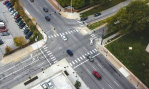
The first is local infrastructure. The city recently approved budgets and tax plans that allow new roadwork, bridge repairs, and water line upgrades. Every one of these projects needs surveys before equipment can roll in. Crews cannot dig, pour, or pave until they know exactly where property lines and easements are located.
The second is oilfield oversight. A recent industry report showed that pipeline operators are cracking down on crude quality after high levels of sulfur compounds, known as mercaptans, were discovered. To meet new standards, operators must run more inspections, confirm their right-of-way access, and make sure easement corridors are free of conflicts. Boundary surveys play a direct role in this process.
Together, these pressures mean surveyors are stretched thin. Public projects and private development now compete with oilfield checks for the same survey crews.
What a Boundary Survey Really Does
So what makes a boundary survey so important?
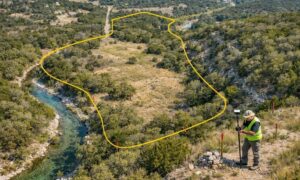
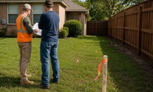
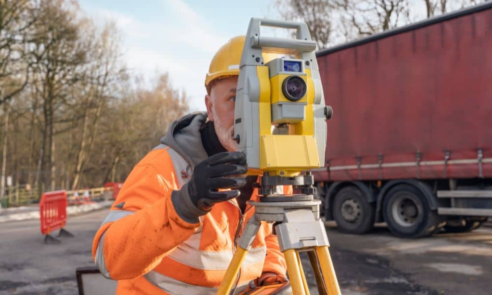
A licensed surveyor researches deeds, plats, and title documents to learn what the records say about a property. Then they visit the site, measure with modern tools, and confirm where the lines and corners truly fall on the ground. The end result is a map that shows lot lines, corner markers, and any overlaps or encroachments.
This map is not just for filing away. It is the tool that protects builders, lenders, and owners. Without it, a new road might run off course, a fence could end up in the wrong spot, or a utility trench could cross into private land. In Midland, where land use often mixes housing, oilfield easements, and public utilities, these mistakes can get expensive fast.
From Pipelines to Property Lines: The Domino Effect
The recent pipeline quality scare may feel distant, but it connects to landowners and builders in direct ways.
Here’s how the dominoes fall: stricter rules on crude mean more operator checks. Those checks require updated as-built records, new alignment sheets, and verified easements. Survey crews must be dispatched to gather that data. Once they are booked on oilfield work, fewer crews are available for homeowners, developers, or banks.
Meanwhile, new infrastructure jobs also require boundary surveys before ground is broken. With both public and private needs pulling on surveyors at once, clients who wait too long to order their survey risk delays.
What This Means for Developers and Homeowners
For residents planning a project, this spike in demand has real effects.
First, expect longer wait times. Survey crews may be scheduled weeks ahead, especially during the busy fall building season. Second, costs may climb. That does not mean surveyors are overcharging. It reflects the effort of covering wide West Texas tracts, managing oilfield safety rules, and working under tight deadlines.
The smart move is to plan early. Developers who are starting new builds often need a boundary survey for property development, since lenders and contractors rely on that survey to confirm lot lines and easements before any work begins. Homeowners preparing for a loan closing should talk to their lender about survey needs well before the final date. Contractors should also work with surveyors to secure access routes and mark utilities before heavy equipment arrives.
Why Skipping a Survey Is a Risk
It might be tempting to think a boundary survey is only paperwork. But skipping it can create big problems.
Without a survey:
- A project can run into a property line dispute with a neighbor.
- A bank may refuse to fund a loan at closing.
- A new fence, driveway, or utility line could be installed in the wrong place.
In Midland, where oilfield corridors and city easements often overlap, the chance of conflict is higher than in many other areas. A survey resolves these questions before they turn into lawsuits or redesigns.
How Surveyors Keep Moving
Surveyors may not grab headlines, but they keep the city’s growth moving forward. They are the first on the ground, setting markers for roads, subdivisions, and utilities. They also help oil and gas operators confirm easements and prevent costly conflicts.
In this season of growth, surveyors are more than people with GPS equipment. They are problem-solvers who make sure projects rest on accurate information. Their work is what allows contractors, lenders, and public agencies to move ahead with confidence.
Conclusion:
Midland is in a period of rapid change. Roads, bridges, pipelines, and private builds are all demanding attention at the same time. In the middle of it all, the boundary survey is the quiet but vital step that protects investments, prevents disputes, and keeps projects on track.
For anyone planning a project this fall, the lesson is clear: secure your boundary survey early. Doing so saves time, avoids surprises, and makes sure your property stands on firm ground.