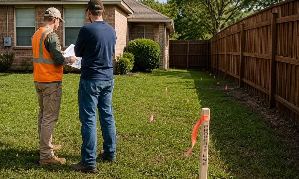
Building a fence sounds simple. Pick a style, hire a contractor, and start installation. But before any posts go into the ground, a property survey for fence installation can help homeowners avoid problems that often appear after work begins. In Bryan, Texas, where neighborhoods continue growing and property improvements are common, understanding your lot boundaries before construction can save time, money, and stress.
Many homeowners assume they already know where their property ends. Some use old sketches, online maps, or existing fences as a guide. The problem is that assumptions can lead to expensive mistakes. A fence built in the wrong spot may create neighbor disputes or require costly removal later.
What Is a Property Survey for Fence Installation?
A property survey for fence installation identifies legal property boundaries, easements, corner locations, and nearby improvements before construction starts. It helps homeowners place fences correctly and avoid problems that can lead to disputes or future changes.
A property survey is a drawing prepared by a licensed surveyor. It shows important information about a piece of land. For fence projects, this information helps homeowners understand where construction can safely happen.
A survey may include:
- Property boundary lines
- Lot dimensions
- Property corner markers
- Easements
- Existing structures
- Driveways and access areas
- Utility locations
- Building setback areas
These details matter because a fence does more than divide space. It becomes a permanent structure tied to your property.
Why Fence Projects Create Problems More Often Than People Expect
Fence projects often create issues because people rely on estimates instead of measured property information. A survey gives homeowners clear details before construction starts.
Many people assume an existing fence already follows the property line. That is not always true.
Older fences may have been installed years ago. Property records can change. Markers can become buried or damaged over time. A fence contractor may also rely on information given by the homeowner.
Common problems include:
- Building too close to neighboring land
- Installing fences across utility access areas
- Blocking drainage paths
- Violating setback requirements
- Installing fencing in the wrong location
These issues may not appear right away. Sometimes they surface only when neighbors sell property or start improvement projects of their own.
Can Online Maps Replace a Survey?
Online property maps can show estimated lot layouts, but they are not legal survey documents. Homeowners should not rely on online maps for fence placement.
Many counties provide public mapping tools. These systems can help people find parcels and general lot locations.
Still, most GIS systems include a disclaimer stating they should not be used for legal decisions.
Online maps may:
- Show approximate boundaries only
- Use older information
- Miss important markers
- Leave out field conditions
- Display images with slight alignment shifts
A few feet may not sound like much. For a fence project, a few feet can create major problems.
If you are trying to find my property line using online maps alone, remember that estimates and legal measurements are different things.
What Homeowners Should Check Before Fence Installation
Homeowners should review property corners, utility areas, drainage paths, easements, and physical site conditions before building a fence.
Fence projects involve more than identifying a property line.
Several conditions should be reviewed before installation:
Property Corner Markers
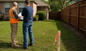
Surveyors use markers to identify boundary locations. These markers may be metal rods, pipes, or other physical points placed during previous surveys.
Utility Areas
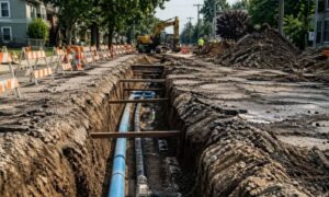
Some sections of property contain underground utility access. Fences built in these locations can create future issues.
Easements
An easement allows others certain rights within a section of your property. Utility companies often use them.
Even if you own the land, restrictions may still apply.
Drainage Conditions
Bryan properties can have areas where water naturally moves after heavy rain. Fence placement should avoid interfering with drainage patterns.
Trees and Existing Features
Large trees, retaining walls, or other improvements can influence fence placement.
Looking at the full site before construction helps reduce surprises.
What Happens During a Residential Fence Survey?
A residential survey typically includes record research, field measurements, marker checks, and boundary verification to confirm property locations before construction.
Many homeowners wonder what happens once they hire a surveyor.
The process usually includes several steps:
- Review existing property records
- Research deeds and plats
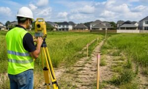
- Visit the site
- Locate markers and physical evidence
- Take field measurements
- Compare findings with recorded information
- Prepare survey documents
The goal is to confirm where property boundaries exist based on evidence and measurements.
Surveyors do not guess. They combine field observations with legal records and calculations.
Why Surveys Matter in Growing Areas Like Bryan, Texas
Bryan continues to see residential growth and neighborhood expansion. As new homes, additions, and outdoor improvements increase, property questions often follow.
Lots may vary in shape and age. Some neighborhoods have older records while others include newer subdivisions.
A residential land survey gives homeowners better information before construction starts. It can also help during future projects involving additions, landscaping, or property improvements.
The cost of a survey may seem like an extra expense at first. Compared with moving or rebuilding a fence later, it often becomes a smart investment.