Buying land in McKinney looks simple at first. You see a listing, you check the price, and the lot seems ready for a new home or project. However, things rarely match what people expect. A licensed surveyor often finds details that change how buyers think about the property before any money moves forward.
McKinney keeps growing fast, so land changes hands often. New homes go up beside older lots, and records do not always stay updated. Because of this, a licensed surveyor becomes part of the process long before construction starts.
What happens before the surveyor steps on the land
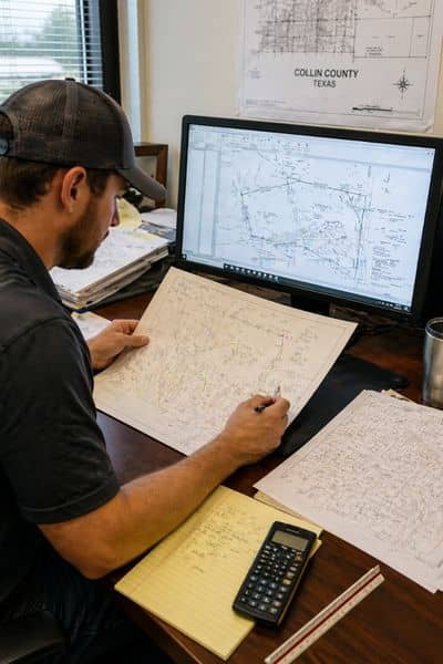
Before any fieldwork begins, a licensed surveyor starts with the legal description of the property. It sounds simple, but it’s usually where things begin to take shape.
They go through old records, subdivision maps, and deed details, then line them up with the latest city and county information. The goal is straightforward: see if what’s on paper still matches what’s actually expected on the ground.
In McKinney, that comparison doesn’t always line up cleanly. A licensed surveyor in McKinney may be looking at records from different periods, some older and some tied to newer development work. It’s common for those records to tell slightly different versions of the same property, and that’s usually where the first questions start to come up, even before anyone steps outside.
What a licensed surveyor actually sees on the ground
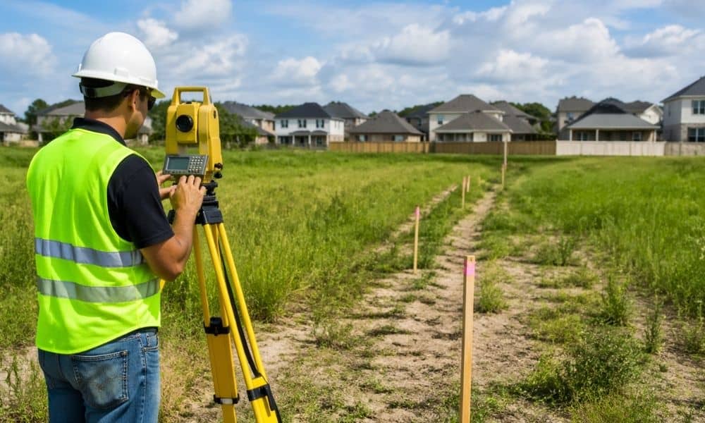
Once the surveyor walks the land, reality often looks different from the paperwork.
They look for physical markers that show where boundaries should be. Sometimes those markers are missing. Other times they are moved or damaged. This creates confusion right away.
They also check fences, driveways, and structures. Many people assume these sit exactly on property lines. In McKinney, that is not always true. Fences often shift over time, and they do not always follow legal boundaries.
So, the surveyor compares what is on the ground with what the documents say. That comparison is where most surprises appear.
Why McKinney land creates more surprises than buyers expect
McKinney has grown quickly over the last few years. Because of that, land goes through many changes. Old farmland becomes subdivisions. New roads cut through older parcels. Utility lines also shift as neighborhoods expand.
As a result, land records often carry layers of history. Some lots were measured multiple times by different surveyors. Others were changed during development but never fully updated in public records.
Because of this mix, a licensed surveyor often finds small but important differences between maps and real conditions. These differences may seem minor at first, but they can affect how the land gets used later.
Hidden issues that show up during a pre-purchase inspection
A licensed surveyor often notices things most buyers don’t pick up during a walk-through.
Land size is usually the first surprise. Everything looks fine on a listing, but once it’s measured properly, the usable space can come out a bit different from what people expected.
You also see small things on the ground that don’t quite line up. A driveway might cross a boundary without anyone really thinking about it. A shed might sit a little closer to the edge than it should. Most of the time it goes unnoticed until someone plans to build or make changes.
Access can catch people off guard too. A buyer might assume a certain road belongs to the property, only to find out the legal access point sits somewhere else once the records are checked.
This is the kind of stuff that usually comes up during a pre-purchase land inspection, when what’s on paper and what’s actually on the ground are finally looked at side by side.
How survey findings affect buying decisions
When buyers receive survey results, they often need to rethink their plans.
If the usable land is smaller than expected, they may adjust their building design. If access points are unclear, they may pause the purchase until things get sorted out. Sometimes buyers even renegotiate the price based on what the survey reveals.
This step is where a licensed surveyor adds real value. They do not just measure land. They give buyers a clearer picture of what they are actually getting.
Because of that, decisions become more informed. Buyers avoid guessing and instead work with accurate ground data.
Why skipping a licensed surveyor creates risk
Some buyers try to move forward without a survey. They rely on listing photos or old reports. That approach can work in simple cases, but it often fails in growing areas like McKinney.
Without a licensed surveyor, buyers may assume boundaries are correct when they are not. They may also assume the land is fully usable when parts of it are restricted.
Later, these issues can delay building plans or create extra costs. Adjusting mistakes after purchase always takes more time and money than checking first.
So, even though the survey happens early, it protects decisions that come much later.
What makes licensed surveyors important in fast-growing areas
McKinney continues to expand with new homes, roads, and commercial spaces. Because of that, land changes faster than records can keep up.
A licensed surveyor helps close that gap. They check what the documents say and compare it with what actually exists on the ground. This gives buyers a clear view of the property before they commit.
As growth continues, this step becomes even more important. More changes mean more chances for small errors in records, and those small errors can affect big decisions.
Final thoughts
A licensed surveyor does more than measure land. They reveal what the property really looks like beyond the listing. They find missing markers, mismatched records, and hidden site conditions that affect how the land can be used.
For buyers, this information changes how decisions get made. It turns guesswork into clarity and reduces the chance of surprises later.
Because land in McKinney keeps changing with new development, checking it first is not just helpful. It becomes part of making a smart purchase.