Surveying land in Texas isn’t always easy. With its mix of rugged hill country, wide-open ranches, dense urban centers, and remote oilfields, this state throws a lot at land surveyors. As the need for faster, more efficient data collection grows, many professionals are turning to advanced tools like LiDAR mapping to get the job done. Add in rapid growth, unpredictable weather, and tight project timelines—and you’ve got a job that’s both critical and complicated.
Traditional tools have done the job for decades. But as projects get larger and deadlines tighter, the demand for smarter, faster solutions has never been greater. That’s where LiDAR mapping comes into play. But is it really the answer for Texas surveyors?
Let’s explore what’s making survey work harder in Texas—and how LiDAR mapping may be the tool that turns things around.
The Challenges Texas Land Surveyors Deal With
1. Varying Terrain: From Hill Country to Oil Fields
Texas isn’t one-size-fits-all. In places like Fort Worth, you’ve got dense cityscapes and elevation shifts. Out west in Midland and the Permian Basin, it’s flat but vast—requiring hours of travel between points. Hill Country can bring rocky slopes and thick brush that make it difficult (and even dangerous) to reach sites on foot.
2. Extreme Weather and Seasonal Hazards
From flash floods in the east to dust storms in the west, weather can delay or derail even the best-planned survey. Intense heat also poses risks to crews and limits working hours during the summer months.
3. Remote Sites and Accessibility Issues
In oil and gas regions, some sites are located in areas with no roads or limited access. Survey teams often need ATVs or helicopters just to get close—costing time and money.
4. Time Constraints and Labor Shortages
Texas is growing fast. Cities are expanding, infrastructure is aging, and new energy projects are popping up across the state. Surveyors are in high demand, and there aren’t always enough boots on the ground to get everything done on time.
Real-World Examples: Where LiDAR Is Making a Difference
Fort Worth: Urban Surveying Amid Construction Booms
With a rising population and ongoing road expansions, Fort Worth surveyors are using LiDAR to model busy intersections, capture building footprints, and design drainage improvements. It’s fast, clean, and doesn’t interrupt traffic.
Midland: Surveying in Oilfields and Harsh Terrain
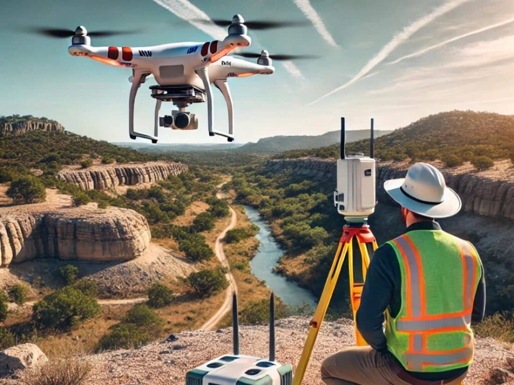
In Midland’s oil country, speed and safety matter. Survey teams use drone-based LiDAR to map well pads, monitor land shifts, and plan pipeline routes—without setting foot in high-risk zones.
Comparing LiDAR Mapping to Traditional Methods
| Feature | Traditional Surveying | LiDAR Mapping |
| Time | Slower, manual process | Fast—can cover large areas in hours |
| Accuracy | High, but human-dependent | Extremely high and consistent |
| Accessibility | Limited by terrain and obstacles | Easily reaches hard-to-access areas |
| Safety | More field exposure | Minimizes risk for crews |
When (and Why) Surveyors Should Use LiDAR
1. Complex Terrain or Hazardous Conditions
When it’s not safe or practical to walk the site, LiDAR gets the job done from above.
2. Large-Scale or Time-Sensitive Projects
Need results fast for a land development deal or oilfield layout? LiDAR shortens the timeline without sacrificing accuracy.
3. Need for High Accuracy and GIS Integration
If your project depends on precision and integrates with mapping software, LiDAR provides clean, easy-to-import data formats.
Finding Reliable LiDAR Mapping Services in Texas
Texas has no shortage of LiDAR providers—but choosing the right one matters. Look for companies that:
- Specialize in land surveying or engineering support
- Offer drone-based and aerial LiDAR options
- Understand Texas terrain and regulatory standards
- Deliver data in compatible formats (like CAD, GIS, BIM)
Ask questions like:
- What experience do you have with projects like mine?
- What’s your turnaround time?
- How accurate is your equipment?
FAQs
1. Can LiDAR completely replace traditional surveying?
Not always—LiDAR complements fieldwork, especially in hard-to-reach or large-scale sites.
2. Is LiDAR expensive?
It can be upfront, but it often reduces total project costs by saving time and avoiding mistakes.
3. How accurate is LiDAR data?
Very accurate—usually within 2 to 5 centimeters.
4. What are the most common industries using LiDAR in Texas?
Construction, oil & gas, public works, utilities, and environmental consulting.
5. Do you need a license to offer LiDAR services in Texas?
Yes, providers often need a registered land surveyor or licensed engineer to sign off on deliverables.
6. How does weather affect LiDAR mapping?
Heavy rain, fog, or snow can reduce accuracy, but most systems are reliable in Texas’ usual dry conditions.