Land next to rail lines in Grand Prairie often holds unexpected challenges. Whether the rail is active or long abandoned, nearby property owners may face uncertainty over where their land truly begins and ends. An ALTA Survey in Grand Prairie, TX helps resolve these issues by clearly documenting property boundaries—especially when old records contain errors or missing details. These surveys are crucial for identifying gaps, overlaps, and access concerns that can delay development, sales, or permit approvals.
Land Irregularities Along Active and Abandoned Rail Corridors in Grand Prairie
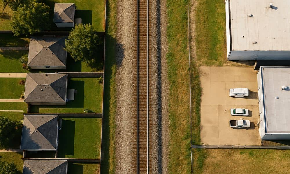
Railroads shaped much of Grand Prairie’s layout. Older parcels often formed alongside rail lines, which shifted over time. In some cases, old corridors were removed but never updated in land records. In other cases, rail rights-of-way remain active and tightly controlled.
These conditions create problems like:
- Lot lines that don’t match current use
- Sliver parcels with no access
- Boundary assumptions based on fences or roads that were never legally recorded
Without proper review, these irregularities can block development or delay permit approvals.
Risks Created by Boundary Gaps and Overlaps in Rail-Adjacent Properties
When property lines aren’t clearly defined, even small slivers of land can cause major setbacks. A property boundary survey for rail-adjacent land helps uncover these hidden risks early, allowing owners to address legal concerns before starting any development or sale.
Common risks include:
- Blocked access due to unclear lot divisions
- Delays in project approvals caused by title problems
- Encroachments into rail land, which may carry legal consequences
Even small mistakes in recorded property lines can grow into costly problems if not fixed before construction or resale.
Identifying Hidden Boundary Conflicts Through Historic Deed and Plat Review
An ALTA Survey helps by reviewing old records, including deeds and plats that may pre-date modern mapping systems. This historical review reveals patterns that today’s digital maps might miss.
Surveyors often find:
- Legal descriptions that no longer reflect current ground use
- Overlapping claims in narrow strips of land
- Gaps between parcels caused by unclear language in past documents
This step is key to establishing what’s legally owned versus what appears to be used.
Verifying Survey Control Points and Rail Right-of-Way Limits
To confirm exact property lines, surveyors use physical control points and rail-specific boundaries. These help define the true edge of each parcel and how close it lies to the railroad corridor.
This process includes:
- Establishing survey markers near the rail alignment
- Mapping the edge of the right-of-way compared to deeded land
- Checking for past shifts in corridor location or width
Without this level of detail, developers and landowners risk crossing into areas they don’t legally control.
Coordinating with Rail Authorities, Utility Holders, and Adjacent Owners
Properties near rail lines often involve multiple stakeholders. Utility lines may run along the tracks. Nearby parcels may depend on shared paths or informal access.
ALTA Surveys help bring these parties together by:
- Reviewing shared-use agreements
- Documenting current physical conditions
- Helping clarify who owns what and where access is allowed
Finalizing Legal Descriptions and Supporting Clean Title Transfers
Once property lines are confirmed, land title survey documentation can be used to update legal records and align them with actual site conditions. This process supports smoother transactions and better project planning by ensuring that boundaries are clearly defined and recorded.
ALTA Survey results are often used to:
- Update deeds and plats with corrected measurements
- Satisfy title companies and lenders
- Prevent future ownership disputes by documenting verified boundaries
Frequently Asked Questions
1. Why are boundaries unclear near rail lines?
Many rail-adjacent parcels were recorded decades ago with incomplete or outdated information.
2. Can an ALTA Survey fix overlapping land claims?
It can identify and document them, helping owners and legal teams resolve the issue.
3. What is a right-of-way, and how does it affect my land?
A right-of-way is a legal path for travel or utility use such as rail lines often with limits on nearby development.
4. Do I need this survey if the rail line is inactive?
Yes. Even abandoned rail corridors may still have legal protections or unclear boundaries.
5. Will this survey help with selling the land?
Yes. A verified ALTA Survey improves title clarity, which is essential for closing deals and avoiding disputes.
