You find a piece of land in Kaufman County. It looks wide, open, and full of potential. Right away, you start to picture a housing subdivision. A few homes here, a road there, maybe a clean layout that sells fast.
At first, it feels simple. Just split the land and move forward.
However, that idea causes problems for many buyers.
In reality, most subdivision projects do not fail because of money or demand. Instead, they fail because people miss key approval steps early on. By the time they realize it, they have already spent time and cash.
So before you move forward, it helps to understand what really stops a housing subdivision in Kaufman County.
It Starts with Land That Doesn’t Match the Plan
Most people assume land is ready to split. After all, it looks usable. It sits in a growing area. Homes are nearby.
However, zoning rules tell a different story.
Every property has rules that control how it can be used. Some areas allow smaller lots. Others require large spacing between homes. In some cases, the land may not support a housing subdivision at all.
Because of this, many buyers run into trouble right away. They plan for multiple lots. Then they learn the land only allows a few. As a result, the project no longer makes sense.
Also, location plays a big role. Land inside city limits follows stricter rules. Meanwhile, land in the ETJ still has rules, just in a different way. So even if the land feels “open,” it still has limits.
That is why this step matters so much. When zoning does not match your plan, everything else falls apart. In many cases, this is the moment people realize they should have taken the time to find out if your land can be subdivided before making plans.
Lot Size Rules Quietly Change the Entire Layout
Even when zoning looks fine, another issue often shows up.
Lot size.
At first, it seemed like a design choice. You decide how many lots you want, then draw them out. However, the county may not agree with that plan.
In many parts of Kaufman County, septic systems control lot size. If sewer lines are not close, each lot must have enough space for safe septic use.
Because of this, your layout can change fast.
You may plan five or six lots. However, the rules may only allow two or three. As a result, your housing subdivision shrinks before it even begins.
This step surprises many people because the land still looks big enough. Yet the rules behind the scenes say otherwise.
Also, distance to sewer lines makes a big difference. If your property sits near sewer service, you may have more flexibility. If not, septic rules take over.
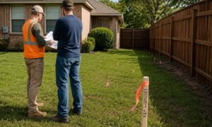
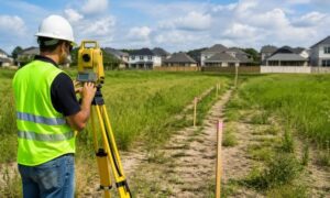
So while the land may look ready, the numbers must still work within the rules, and this is often the point where people wish they had a surveyor look at it sooner especially when they have a surveyor review the property early before finalizing a layout.
A Housing Subdivision Is Not Just a Simple Split
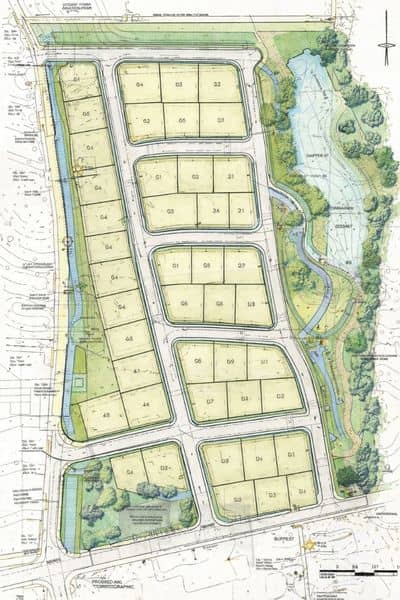
Many people think they can divide land with a quick drawing and a few forms.
However, a housing subdivision requires much more than that.
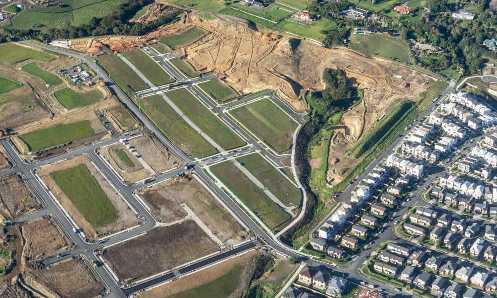
You need a clear plan that shows how everything will work together. This includes how lots connect, how roads flow, and how water drains across the site.
Because of this, the county asks for a preliminary plat. This document lays out the full vision of the subdivision. It shows how the land will function once homes are built.
At the same time, engineering plans often come into play. These plans look at roads, grading, and drainage. They make sure the land can support the layout in a safe way.
Without this level of detail, the project cannot move forward.
That is where many projects slow down.
A landowner starts with an idea. Then they learn the process involves surveys, planning, and engineering work. As a result, timelines stretch, and costs increase.
So while the idea of a housing subdivision sounds simple, the process behind it is not.
Utilities and Access Can Stop Everything Without Warning
Even when the layout looks good, one last issue can stop the entire project.
Utilities.
At first glance, the land may seem ready. Homes nearby suggest water, power, and sewer are close. However, that is not always the case.
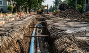
You need to confirm that utilities are both available and reachable.
More importantly, you need legal access to them.
This is where easements come in. Easements allow you to run lines across land. Without them, you cannot connect to nearby services.
Because of this, many housing subdivision plans run into trouble late in the process.
A property may sit near a water line. However, there is no legal path to connect. So now the layout must change, or new agreements must be made.
That takes time. It also adds cost.
In some cases, it stops the project altogether.
So even if utilities look close, they still need to be confirmed early.
Why This Happens More Often in Growing Areas Like Kaufman County
Kaufman County continues to grow. New homes rise. More people move in. As a result, local agencies pay closer attention to development.
They want roads that work, drainage that protects homes, and utilities that support long-term growth.
Because of this, approval steps are more detailed than before.
What worked years ago may not pass today.
So when someone tries to create a housing subdivision without planning, they face stricter reviews. The county checks every part of the project before approval.
That is why early planning matters more now than ever.
Planning Early Changes Everything
At the end of the day, a housing subdivision does not fail during construction.
It fails during planning.
When key steps get missed, problems show up later. However, when you look at zoning, lot size, layout, and utilities early, the project becomes much smoother.
Instead of guessing, you move forward with a clear path.
That is the real difference.
Before you split land, take a step back. Look at the full picture. When you understand these hidden approval steps, you protect your time, your budget, and your project.
And in the end, that is what turns a piece of land into a successful housing subdivision.