Living in Grand Prairie is great. New homes, neighborhoods, and parks make it a nice place to live. But heavy rains can sometimes cause flooding, and even if your home looks safe, water can still reach your property. One way to protect your home and possibly lower your flood insurance costs is with a FEMA elevation certificate. If you’re unsure where to start, talking with a surveying expert can make the process much easier and help you understand what the certificate really tells you about your property.
What Is a FEMA Elevation Certificate?
A FEMA elevation certificate is a paper that shows how high your house sits compared to the Base Flood Elevation (BFE). The BFE is how high water could rise in a flood. This certificate helps insurance companies, city officials, and homeowners understand how much risk a property has for flooding.
If you’ve ever wondered how FEMA elevation certificates work, it’s really about giving you a clear picture of your home’s safety. It tells you whether your foundation is high enough, how water might flow around your property, and even how your elevation can affect your flood insurance. Builders can also use the information to plan safe additions or remodeling. It’s more than just numbers—it’s a guide to keeping your home protected.
Why Homeowners Should Care
Even homes that look safe can be at risk. Floods happen when heavy rains overflow streets, yards, and rivers. As new homes, roads, and parking lots are built, water can flow in new ways. A FEMA elevation certificate helps you understand your home’s flood risk.
It can save you money on insurance. It can also guide decisions when adding new rooms or fixing your home. Most importantly, it gives you peace of mind. You will know that your home is safer, and you have official proof if anything happens.
How Homeowners Get a FEMA Elevation Certificate
Getting a FEMA elevation certificate is not hard, but it must be done right. Here’s how it works for homeowners:
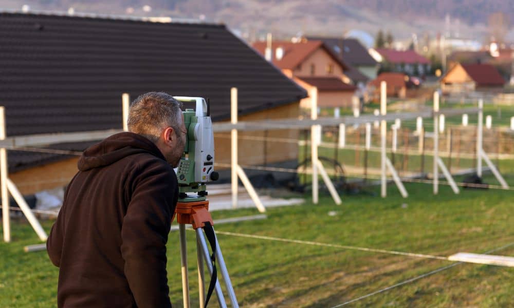
First, hire a licensed land surveyor. Only a professional surveyor can measure your property correctly.
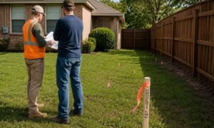
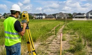
Next, the surveyor will measure your house and land. They compare your home’s height to the Base Flood Elevation. Then, the surveyor fills out the official FEMA form. After that, you give it to your insurance company to check your flood insurance rates.
Working with a professional makes sure your certificate is correct. If it is wrong, your insurance could cost more, or you might have problems if a flood happens.
How It Helps With Flood-Safe Building
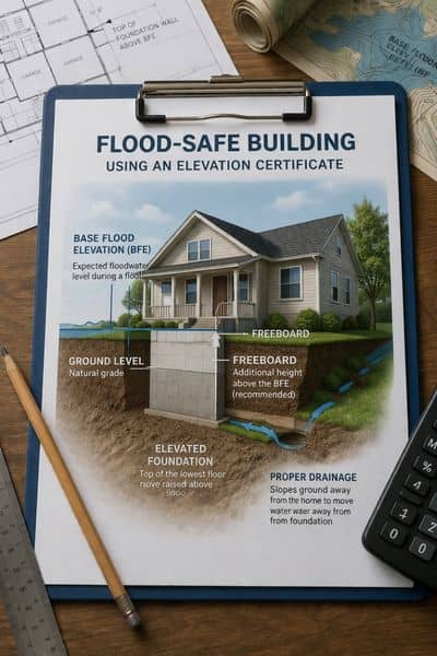
The FEMA elevation certificate is useful for building and remodeling. For example, if you want to add a new room or fix your home, the certificate tells you how high the foundation should be.
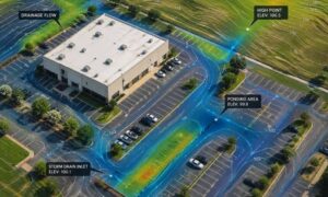
It also helps with drainage. Good drainage keeps water from staying near your foundation and causing damage. Even landscaping, like adding a garden or patio, can benefit from knowing your home’s elevation.
By using this information, you can build safer, prevent water damage, and protect your home’s value.
Questions Homeowners Often Ask
Many homeowners have questions about FEMA elevation certificates. Here are some common ones:
- Do I need one for my home now? If your home is in a flood zone or near one, yes. An updated certificate helps with insurance and shows your home is safe.
- How often should it be updated? Every few years or after big changes to your home. Flood maps and rules can change, so keeping it updated matters.
- Can I do it myself? No. Only a licensed land surveyor can make a proper certificate.
- How does it affect insurance rates? Homes above the Base Flood Elevation often pay less for insurance. A certificate proves your home’s height.
Finding the Right Professional in Grand Prairie
Picking the right surveyor is very important. Look for someone who:
- Is licensed in Texas
- Has experience with FEMA elevation certificates
- Knows the Grand Prairie area
A professional surveyor measures your home and explains the results. They show how the certificate can help with construction and insurance. Working with an expert makes sure your certificate is correct and useful.
The Benefits Go Beyond Insurance
A FEMA elevation certificate is more than just a form. It gives you confidence and peace of mind. Knowing your home’s elevation helps prevent damage, keeps your family safe, and protects your property value.
For homeowners, it is a small step that makes a big difference. You can plan smarter, avoid problems, and make safe choices for your home now and in the future.
Conclusion
Floods can happen to anyone. A FEMA elevation certificate helps you understand your home’s flood risk. It guides building and remodeling decisions, helps lower insurance costs, and gives you proof that your home is safe.
If you are planning a new addition, remodeling, or just want peace of mind, hire a licensed land surveyor to get a FEMA elevation certificate. It is a simple way to protect your home, your family, and your wallet for years to come.