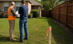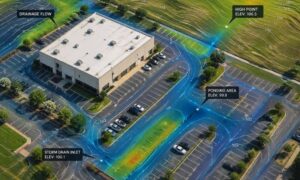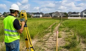
As cities evolve and development expands into more varied terrain, elevation has become a critical factor in how zoning rules are written and applied. Whether it’s managing height restrictions, floodplain boundaries, or buildable land on sloped lots, planners increasingly rely on precise elevation data to make informed decisions. In places like Dallas and San Antonio, digital elevation models created through LiDAR technology are helping reshape urban zoning and land use strategies—quietly guiding where, and how, growth happens.
Why Elevation Data Matters in Urban Zoning
Elevation isn’t just about hills. It affects where water goes, how stable the ground is, and whether an area is safe to build on. Cities use this information to decide:
- Where homes and buildings can be placed
- How tall structures can be
- What type of development is allowed
As more land is used in Texas, especially in areas with slopes or flood risks, understanding elevation becomes even more important.
From Flat to Dynamic: How LiDAR Enhances Planning
Before LiDAR, elevation maps were basic and often outdated. Today, LiDAR gives planners access to:
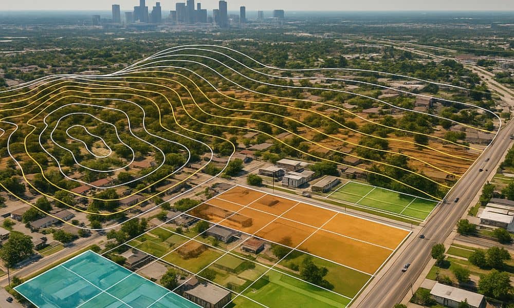
- 3D surface models that show every bump and slope
- Detailed elevation maps accurate within inches
- Digital tools for smart zoning overlays
These tools help cities plan better and let developers see problems before they build.
Zoning Impacts in Flood-Prone and Sloped Areas
In many Texas metro areas, zoning laws change depending on land elevation. For example:
- Flat land may allow for dense housing or tall buildings
- Sloped areas might be limited to one or two stories
- Flood-prone zones may ban building entirely
LiDAR helps planners understand these risks. By knowing exactly where low spots and steep slopes are, cities can apply the right zoning rules to the right areas.
LiDAR Mapping in Dallas TX: Elevation and Entitlement
In Dallas, urban growth is moving toward older neighborhoods and industrial zones. These areas often have elevation differences caused by decades of development. Modern LiDAR-assisted planning in Dallas supports smarter decisions by helping planners and engineers:
- Plan infill projects where small elevation changes affect stormwater rules
- Determine where developers need special approvals based on slope
- Map overlays that protect sensitive areas or limit height due to view corridors
As zoning laws get updated, Dallas uses LiDAR to make sure new buildings follow the land, not just the blueprint.
LiDAR Mapping in San Antonio TX: Growth with Terrain Limits
San Antonio sits on the edge of Texas Hill Country, where elevation changes are common, even within city limits. Accurate terrain-based site analysis in San Antonio helps planners understand which areas are suitable for growth and which require more careful regulation. LiDAR mapping in San Antonio TX supports zoning decisions by:
- Identifying buildable areas on steep terrain
- Defining watershed protection zones based on slope and runoff
- Helping planners protect green spaces that also serve as natural drainage zones
This approach lets the city grow without damaging its natural landscape or putting new developments at risk.
Infrastructure Planning Informed by Elevation Models
LiDAR isn’t just for buildings. It also plays a major role in elevation survey and grading support—essential for shaping the ground before any construction begins. It helps with:
- Road planning: ensuring streets are safe and not too steep
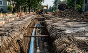
- Utility routing: avoiding flood zones or steep cuts for pipes
- Site grading: making sure surfaces are level for heavy equipment
Elevation data reduces design errors that can cause costly redesigns during construction.
Vertical Development and LiDAR-Defined Restrictions
In dense urban areas, the height of a building isn’t only about design—it’s about rules. LiDAR helps:
- Enforce height restrictions tied to zoning overlays
- Protect air space near airports and flight paths
- Preserve views in historic or scenic areas
This matters in downtown districts, where every foot of building height can affect zoning approval.
Challenges in LiDAR Integration with Local Zoning Codes
While LiDAR data brings high-resolution insights to zoning and land use planning, cities still face barriers in fully adopting it. These challenges are not just technical—they’re also institutional and regulatory:
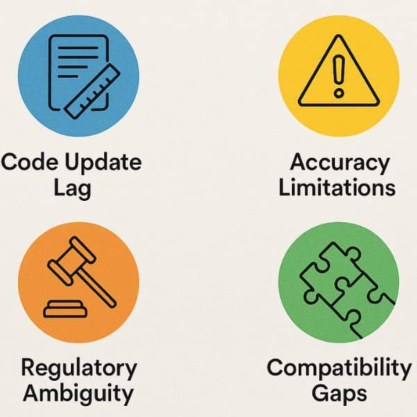
- Code Update Lag: Many zoning ordinances were written before high-resolution spatial data existed. Updating them takes time and political effort.
- Accuracy Limitations: Though precise, LiDAR data can be misread or misapplied without careful interpretation.
- Regulatory Ambiguity: Zoning codes often don’t define how LiDAR should be used, creating inconsistent applications across departments.
- Compatibility Gaps: Many local governments lack the tools or training to fully integrate LiDAR into their planning workflows.
Until these issues are addressed, cities may struggle to use LiDAR data to its full potential in shaping zoning policies.
Future Outlook: Smart Zoning with Geospatial Intelligence
As technology grows, so does the power of geospatial data like LiDAR. In the future, we may see:
- Zoning systems that adjust in real-time with new mapping
- AI tools that help plan entire neighborhoods based on terrain
- Open-data systems that let anyone explore zoning rules through 3D maps
Cities like Dallas and San Antonio are already heading in this direction.
Zoning That Matches the Land, Not Just the Map
As Texas cities expand into more diverse landscapes, elevation is no longer a background detail—it’s central to how zoning decisions are made. With help from LiDAR data, planners can now match land use to actual landform, ensuring development aligns with both terrain and long-term resilience.
Frequently Asked Questions
1. How does LiDAR affect building height rules?
LiDAR shows exact ground elevation, which cities use to limit total building height above grade.
2. Do cities adjust zoning based on LiDAR?
Yes, some cities now revise zoning overlays and restrictions using LiDAR elevation data.
3. How accurate is LiDAR for slope analysis?
LiDAR is highly accurate—typically within a few inches—making it ideal for mapping slopes and drainage.
4. Is LiDAR used in land entitlement reviews?
In many cities, yes. Entitlement approvals may require proof of elevation or slope analysis backed by LiDAR data.
5. Can LiDAR help avoid zoning-related construction delays?
Absolutely. It gives planners and developers precise elevation info early, reducing the risk of rule violations or redesigns.
6. Does LiDAR impact future land value projections?
It can. Accurate terrain data affects what can be built, which influences both risk and potential property value.