When the recent DFW flood alerts went out in late September, residents were reminded how quickly heavy rain can change daily life. Streets filled, creeks swelled, and neighbors worried about whether water would reach their homes. In moments like these, many people hear the term flood elevation certificate from their insurer, their lender, or even city officials. But what does it really mean, and why does it matter so much for homeowners? A flood elevation survey serves as a report card, showing how prepared your home is against rising water. After these recent alerts, understanding that risk has never been more critical.
Flood Alerts Are More Than Headlines
North Texas weather is unpredictable. One week can be hot and dry, the next can bring storms strong enough to flood entire neighborhoods. This month’s flood watch included Mesquite, sparking online conversations and plenty of worry. On Reddit, Dallas-area residents traded updates, while news stories revisited the tragic summer floods that shut down Camp Mystic last year. Now, with that camp reopening, the public is once again paying close attention to safety in flood zones.
For homeowners, these alerts aren’t just news. They are reminders that living near South Mesquite Creek or in a low-lying subdivision can come with real risks. And while you can’t control the weather, you can understand your property’s true flood risk through a professional survey.
What Is a Flood Elevation Survey?
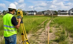
A flood elevation survey is the process that produces your flood elevation certificate. A licensed surveyor measures your home’s lowest floor and compares it to FEMA’s Base Flood Elevation (BFE) for your area. The BFE is the “line” FEMA sets for where floodwaters are expected to rise during a major storm.
If your finished floor sits above that line, you may be in better shape than the maps suggest. If it sits below, your lender or insurer may require flood insurance, sometimes at very high rates. This survey gives the hard data that proves exactly where your home stands.
Why Properties Need It
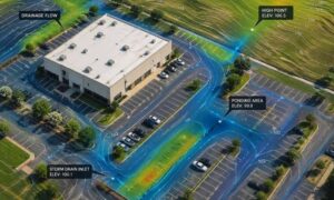
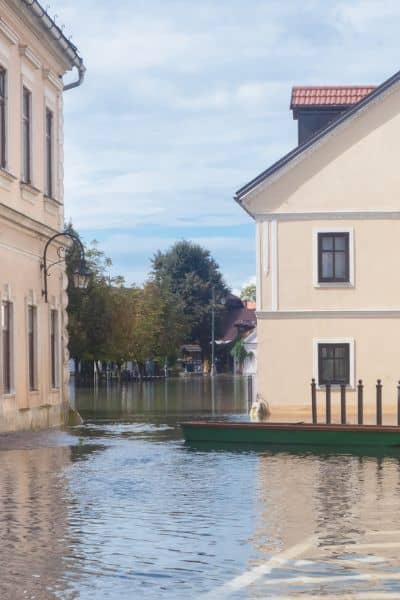
Mesquite may not be a coastal city, but it still faces flood risk. The South Mesquite Creek and its tributaries cut across town. During heavy storms, these channels rise quickly, often faster than drainage systems can handle. Add new paving and development, and runoff only increases.
A FEMA map might show your property inside a high-risk flood zone. But maps can be outdated, especially in areas where new construction has shifted how water flows. A flood elevation survey brings the focus back to your lot. It’s the difference between relying on a broad map and knowing the exact elevation of your home.
For families, that knowledge is powerful. It can mean paying less for insurance, proving your home is safer than assumed, or spotting risks before they turn into damage.
How a Flood Elevation Certificate Protects Your Property
Flood insurance premiums are tied to elevation. A single certificate can save hundreds—or even thousands—of dollars every year. If your home sits above FEMA’s Base Flood Elevation, you can submit the survey and request a lower rate.
Mortgage closings are another point where this matters. Lenders don’t want surprises, and they often require a flood elevation certificate before finalizing a loan. Without it, closings can stall. With it, buyers and sellers move forward with confidence.
There’s also the option of filing for a Letter of Map Amendment (LOMA). If your survey shows your home is above the flood level, FEMA may remove your property from the high-risk zone altogether. That can mean no mandatory flood insurance and smoother sales in the future.
What Surveyors Check
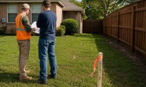
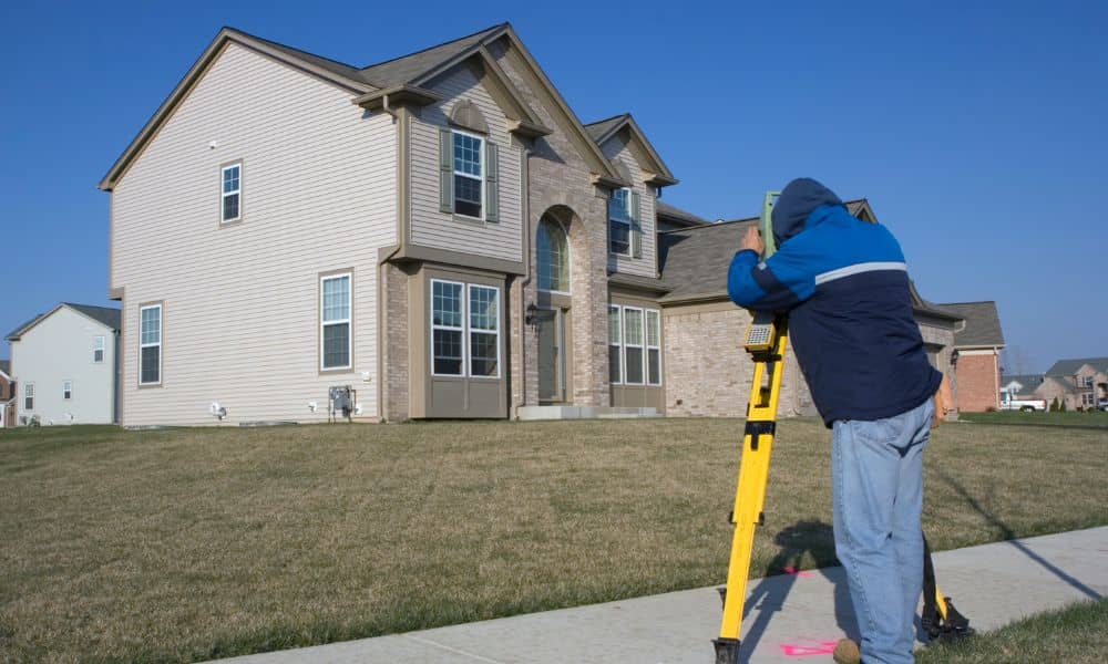
When a licensed surveyor comes to your property, they’re looking at more than just the front doorstep. They measure:
- The lowest floor of your home compared to FEMA’s flood level.
- Where additions like garages, decks, or sheds sit in relation to flood zones.
- How close your lot comes to the edge of creeks, detention ponds, or drainage channels.
- Whether your improvements encroach on a regulated floodway.
In Mesquite, with clay soils and heavy runoff, small differences in elevation can create big differences in risk. A surveyor’s report turns those numbers into clear answers: safe, at risk, or somewhere in between.
The Cost of Waiting
Many homeowners wait until they get a notice from their bank or insurance company before ordering a survey. By then, the pressure is on, and options feel limited. But after this month’s alerts, it’s clear that waiting is risky.
Storms don’t follow schedules. The next heavy rain could test whether your property is ready. And if you don’t already have a flood elevation certificate on file, you may find yourself scrambling during a stressful moment. Being proactive now avoids panic later.
Steps to Take After Flood Alerts
So what should you do if you live in the area and notice your city’s name in this week’s warnings? Start simple:
- Check FEMA’s flood map service to see if your property is marked in a flood zone.
- Ask a licensed surveyor about ordering a flood elevation survey.
- Use the certificate to talk with your insurer about lowering premiums.
- Keep the document for future sales, refinancing, or FEMA map changes.
The survey is a one-time investment, but the peace of mind lasts much longer.
Questions to Ask Your Surveyor
- Is my finished floor above FEMA’s Base Flood Elevation?
- Could this certificate lower my flood insurance premium?
- Should I apply for a LOMA?
- How quickly can the survey be completed?
- What documents should I keep for future closings?
Asking these questions keeps the process clear and ensures you get the most value from the survey.
Final Thoughts
The late September DFW flood alerts reminded homeowners that flooding isn’t just a problem for faraway places—it’s a real, local risk. Flood elevation certificates are one of the most effective tools to understand that risk, lower insurance costs, and protect property value.
Floods may be unpredictable, but preparation doesn’t have to be. By ordering a flood elevation survey now, homeowners can face the next storm with knowledge, confidence, and peace of mind.