Big changes are coming to Plano’s water system, and every developer, project manager, and civil engineer should pay attention. The North Texas Municipal Water District (NTMWD) recently approved a $1.7 billion capital program for 2026, and one of the headline projects is the Wylie Water Treatment Plant IV expansion, set to break ground in October 2025. At first glance, this sounds like good news for growth—more water supply, better reliability, and stronger infrastructure. But here’s the catch: these upgrades will also reshape how cities like Plano review and enforce flood study requirements.
If you’re planning land development, subdivision work, or roadway improvements in the next few years, understanding these changes could save you time, money, and frustration.
Plano’s Water Backbone Is Getting an Upgrade
For decades, NTMWD has provided water to Plano and dozens of nearby communities. As the region continues to grow, the demand for water is outpacing current capacity. That’s why the district’s board approved the massive $1.7 billion program. The investment covers debt service, new pipelines, and major plant improvements.
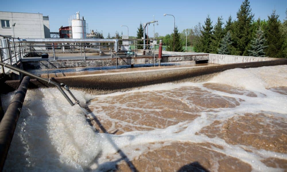
The Wylie Plant IV expansion is a centerpiece. Once complete, it will add millions of gallons of treatment capacity per day. That means developers and city planners will soon be able to count on a more stable water backbone, which is critical for supporting new subdivisions, mixed-use developments, and transportation corridors.
But more water also means more stormwater. As supply expands, so does the need for better planning around runoff, detention ponds, and downstream impacts. And that’s where flood studies come in.
Why Flood Studies Will Get More Attention
A flood study is not just a box to check during design. It’s the foundation for how engineers prove that a new development won’t overwhelm existing drainage systems. In Plano, this typically means showing how your project handles rainfall, where the water flows, and whether detention or retention ponds are needed to slow runoff before it reaches creeks and channels.
With NTMWD expanding its water and pipeline network, the city will likely tighten its review process. Here’s why:
- Hydrology shifts. More treated water in the system, combined with ongoing urbanization, increases total flow volumes. Cities will be cautious about cumulative impacts.
- Downstream pressure. Subdivisions built today can change how stormwater behaves in neighborhoods tomorrow. Updated studies will be required to prove that projects don’t worsen flood risks.
- FEMA compliance. As new data comes in, some areas may be reevaluated for floodplain maps. Developers should expect closer review of modeling results tied to FEMA requirements.
Simply put, the expansion makes water capacity less of a limitation, but it puts drainage design and stormwater management under a brighter spotlight.
What This Means for Developers
If you’re a developer, general contractor, or project manager, the city’s response to these changes will affect your timeline. For example, a subdivision may need to include larger detention ponds than you expected. A roadway design tied to utility corridors could face more detailed drainage checks.
That doesn’t mean growth will stall. In fact, the NTMWD investment shows the opposite: Plano is preparing for continued development. But the rules of the game will evolve. A flood study that passed review five years ago might not clear the bar today.
Expect city engineers to look harder at:
- Runoff coefficients for high-density sites.
- Hydraulic models that predict how water moves during a 100-year storm.
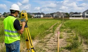
- Whether detention pond design and roadway grading are supported by accurate survey data.
By anticipating these requirements, your project can avoid costly redesigns or delays.
The Ripple Effects of the Wylie Plant IV Expansion
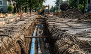
The Wylie expansion will be built in phases through 2029. During that time, utility tie-ins and pipeline work will overlap with local construction. This creates two important ripple effects for flood studies:
- Temporary Disruptions. Tie-in work can alter flow patterns, even for a short period. Cities may require interim drainage solutions or staged detention plans.
- Cumulative Impacts. As each new phase of the plant goes online, regional stormwater models may be updated. That means projects submitted in 2027 could face different assumptions than those in 2025.
For developers, the message is clear: don’t treat the flood study as a one-time task. Stay updated, because assumptions about drainage can change mid-project.
How to Stay Ahead of the Curve
So what can you do to protect your timeline and budget while this massive water program rolls out?
- Engage early. Bring in a licensed civil engineer at the concept stage, not after design is complete. Early flood study modeling can highlight risks before you submit plans.
- Coordinate with utilities. Work closely with NTMWD schedules and City of Plano reviewers to avoid surprise conflicts.
- Over-communicate. Provide clear, easy-to-read models and reports. A reviewer who trusts your data is less likely to request multiple revisions.
- Think long-term. Even if your project meets today’s requirements, consider whether it will still perform under updated standards in two or three years.
This proactive mindset not only helps your project move forward but also builds credibility with city staff and clients.
Why This Matters for Civil Engineering Firms
For local firms, the NTMWD expansion is both a challenge and an opportunity. On one hand, stricter flood study reviews mean more work per project. On the other hand, clients will need expert guidance more than ever. A civil engineering company that can simplify the process and provide reliable results will stand out.
Structural engineers, roadway engineers, and land development engineers will all feel the ripple effects. But it’s civil engineers—especially those who handle drainage design and stormwater modeling—who are in the spotlight.
Final Thoughts
Plano’s $1.7 billion water infrastructure program is a turning point. It secures the region’s growth, but it also raises the stakes for stormwater planning. For developers, contractors, and engineers, the flood study is no longer a side note. It’s a central piece of the approval process.
If you’re preparing a subdivision, roadway, or land development project, now is the time to strengthen your approach. Don’t wait until reviewers send your plans back. Work with a professional civil engineer who knows how to align flood study results with evolving city and NTMWD requirements.